Seaport · Cambodia
Kampong SaomKHKOS
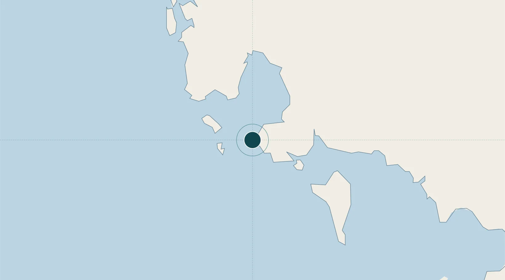
10.6333°, 103.5000°
7.9 m
Channel depth
1
Container terminals
173.3
Port liner connectivity
Channel & Berth Profile
Pilotage, Tugs & Services
Pilotage compulsoryYES
Pilotage availableYES
Pilotage advisableYES
Tug assistanceYES
Potable waterYES
MedicalYES
Garbage disposalYES
Facilities & Capabilities
Container—
Ro-Ro—
Liquid bulk—
Dry bulk—
Oil terminal—
Break bulk—
Dry dock—
RepairsNO
BunkeringYES
Rail linkYES
Dangerous cargo—
ISPS security—
Harbour Specifications
Harbour size
Medium
Harbour type
Coastal (Breakwater)
Shelter
Good
Water body
Gulf of Thailand; South China Sea; North Pacific Ocean
Tidal range
1 m
Pilotage
Yes
Liner Connectivity
173.3
PLSCI
Port Liner Shipping Connectivity Index for Kampong Saom, as published by UNCTAD for the latest available quarter. Higher values indicate stronger scheduled liner-shipping integration.
Shown relative to the highest per-port PLSCI in the dataset (1,657.9).
Location
Container Terminals · 1
SIHANOUKVILLE PORT
SPA SIHANOUKVILLE PORT AUTHORITY
Nearby Logistics Neighbours
Ports
- 1Duong Dong69 km
- 2Tantawan Marine Terminal236 km
- 3Benchamas Terminal246 km
- 4Erawan Terminal291 km
- 5Rayong Tpi Terminal327 km
Cities
- 1Phu Quoc69 km
- 2Khlong Yai142 km
- 3Phnom Penh179 km
- 4Ta Khmau184 km
- 5Binh Long Port191 km
Airports
Trade Zones
DatabookThe Record of Consolidated Knowledge
Cambodia beyond logistics?