Transport Functions
Port
Road
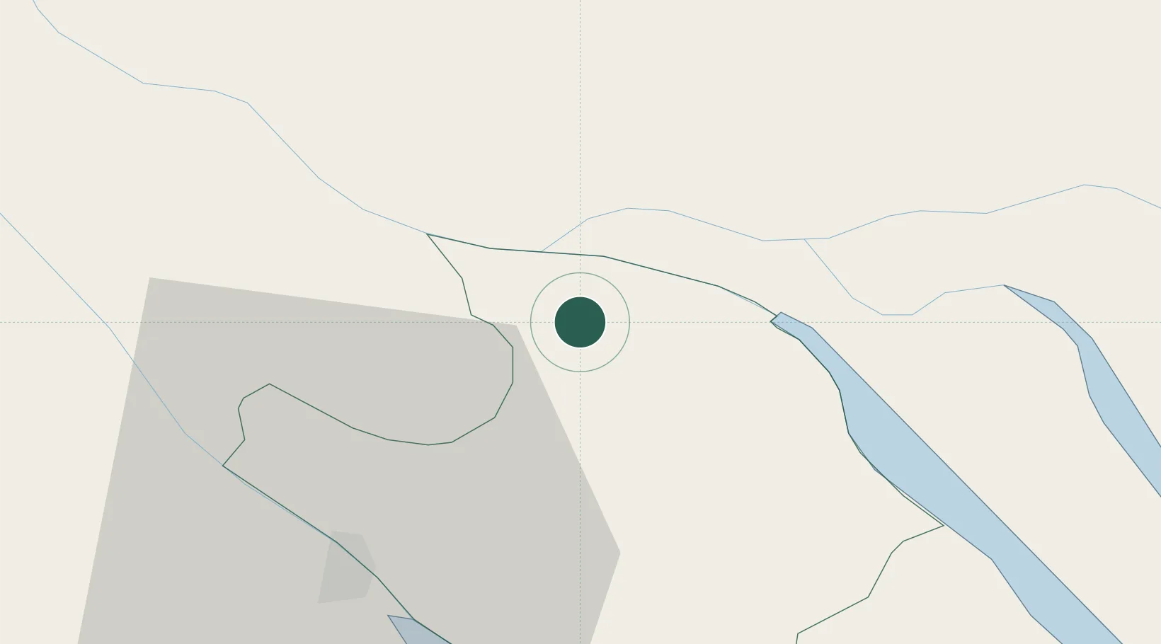
Hub Profile
Place type
Regional capital
Region
Vinh Long
Population
137,870
Time zone
Asia/Ho_Chi_Minh
Elevation
1 m
Location
Nearby Logistics Neighbours
Ports
- 1Thanh Ho Chi Minh101 km
- 2Cat Lai106 km
- 3Thanh Hoa109 km
- 4Vung Tau121 km
- 5Phu My123 km
Airports
Trade Zones
DatabookThe Record of Consolidated Knowledge
Vietnam beyond logistics?