Large airport · Vietnam

Phú Quốc International AirportVVPQ
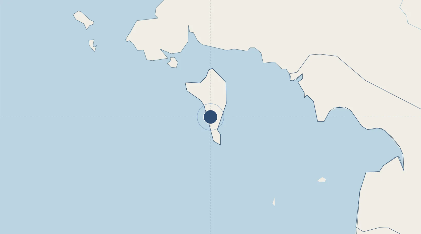
10.1698°, 103.9935°
9,843 ft
Longest runway
1
Runways
37 ft
Elevation

Runway & Layout

Phú Quốc International Airport runway & taxiway layout
Runway & taxiway layout — OpenStreetMap (ODbL) / OurAirports

Radio Frequencies

TWR
118.6 MHz
OurAirports

Navaids

PQ NDB Phuquoc 278 kHz
OurAirports

Runways · 1

RunwayDimensions SurfaceTrue headingLit
10/28 9,843 × 150ft Asphalt 096°
OurAirports

Airport Specifications

IATA code
PQC
OurAirports
ICAO code
VVPQ
OurAirports
Airport class
Large airport
OurAirports
Scheduled service
Yes
OurAirports
Runway surface
Asphalt
OurAirports
Served city
Phu Quoc Island
OurAirports

Location

Location of VVPQ
Natural Earth 10m (public domain) · Kiên Giang · VVPQ · 10.17, 103.99GoogleOSMYandex

Nearby Logistics Neighbours

Airports
  1. 1Sihanouk International Airport60 km
  2. 2Dara Sakor International Airport118 km
  3. 3Rach Gia Airport127 km
  4. 4Techo International Airport167 km
  5. 5Cà Mau Airport170 km
Nearest neighbours — logibook spatial index (haversine) over the source coordinates
Cities
  1. 1Phu Quoc6 km
  2. 2Kâmpóng Saôm72 km
  3. 3Binh Long Port144 km
  4. 4Vinalines Hau Giang Port169 km
  5. 5Dong Thap176 km
Nearest neighbours — logibook spatial index (haversine) over the source coordinates
Ports
  1. 1Duong Dong6 km
  2. 2Kampong Saom75 km
  3. 3Tantawan Marine Terminal282 km
  4. 4Benchamas Terminal303 km
  5. 5Thanh Ho Chi Minh305 km
Nearest neighbours — logibook spatial index (haversine) over the source coordinates
Trade Zones
  1. 1Phú Quốc Special Economic Zone6 km
  2. 2Phu Quoc Island Coastal Economic Zone15 km
  3. 3Kampot Special Economic Zone52 km
  4. 4Ha Tien Border-Gate Economic Zone58 km
  5. 5Cambodian Zhejiang Guoji Special Economic Zone69 km
Nearest neighbours — logibook spatial index (haversine) over the source coordinates
DatabookThe Record of Consolidated Knowledge
Vietnam beyond logistics?
Browse databook

All Sources

AirportsOurAirports
Public domain
Portsthe NGA World Port Index
Public domain (US gov)
LocationsUN/LOCODE
UN/LOCODE — free
Trade Zonesthe World Bank SEZ database
CC BY 4.0
Trade ZonesOpen Zone Map
CC BY
InfrastructureOpenStreetMap
ODbL 1.0
← Vietnam airports