Transport Functions
Port
Road
Hub Profile
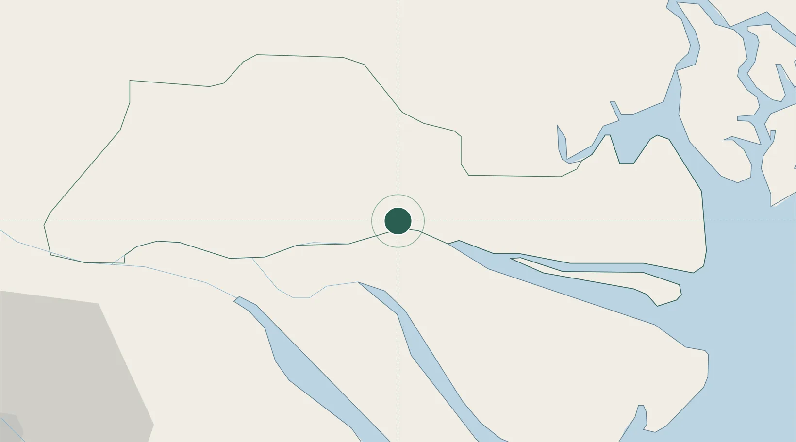
Place type
Populated place
Region
Vinh Long
Time zone
Asia/Ho_Chi_Minh
Elevation
5 m
Location
Nearby Logistics Neighbours
Cities
- 1Ben Tre14 km
- 2Tan An22 km
- 3Bình Chánh42 km
- 4Vinh Long44 km
- 5Cai Cui Port44 km
Ports
- 1Thanh Ho Chi Minh61 km
- 2Cat Lai65 km
- 3Thanh Hoa69 km
- 4Vung Tau79 km
- 5Phu My79 km
Airports
Trade Zones
DatabookThe Record of Consolidated Knowledge
Vietnam beyond logistics?