UN/LOCODE hub · Vietnam
VNLAP

Long An International Port

10.5333°, 106.7333°
1
Transport functions

Transport Functions

Port
UN/LOCODE

Hub Profile

Region
41
GeoNames

Location

Location of VNLAP
Natural Earth 10m (public domain) · 41 · VNLAP · 10.53, 106.73GoogleOSMYandex

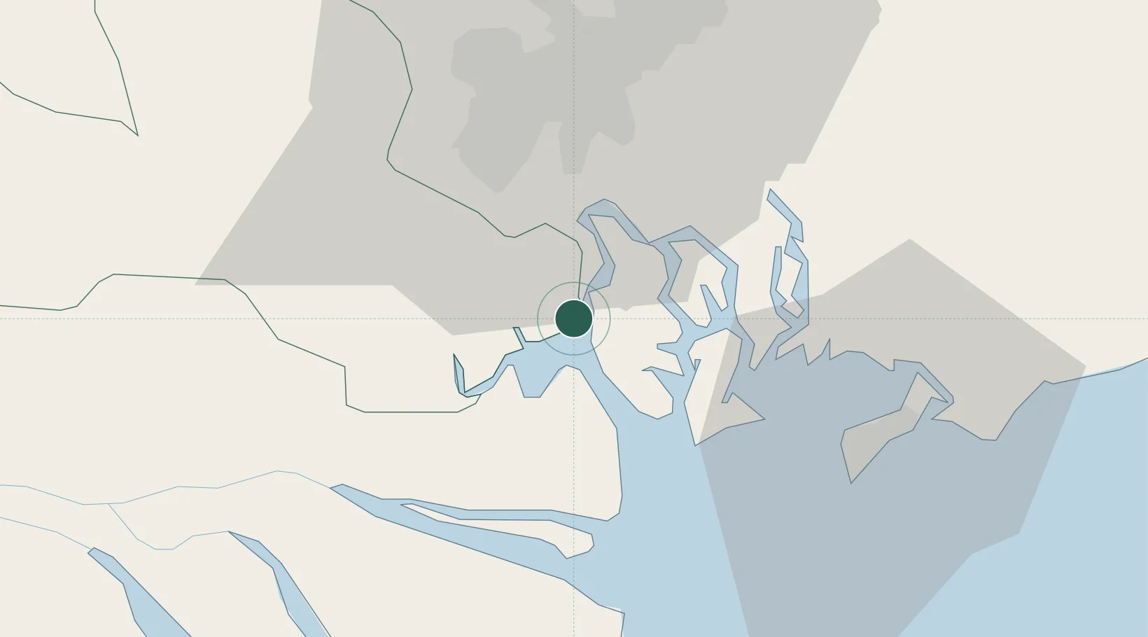
Nearby Logistics Neighbours

Cities
  1. 1Hiep Phuoc Port11 km
  2. 2Tan Cang Hiep Phuoc Port13 km
  3. 3Bông Sen17 km
  4. 4Nha Be Oil Port19 km
  5. 5Lotus Port22 km
Nearest neighbours — logibook spatial index (haversine) over the source coordinates
Ports
  1. 1Cat Lai25 km
  2. 2Thanh Ho Chi Minh26 km
  3. 3Thanh Hoa32 km
  4. 4Phu My33 km
  5. 5Vung Tau44 km
Nearest neighbours — logibook spatial index (haversine) over the source coordinates
Airports
  1. 1Tan Son Nhat International Airport33 km
  2. 2Long Thanh International Airport (Under Construction)43 km
  3. 3Can Tho International Airport123 km
  4. 4Rach Gia Airport187 km
  5. 5Con Dao Airport201 km
Nearest neighbours — logibook spatial index (haversine) over the source coordinates
Trade Zones
  1. 1Hiep Phuoc Industrial Park12 km
  2. 2Tan Thuan Export Processing Zone26 km
  3. 3Tan Tao Industrial Park28 km
  4. 4Nhon Trach V Industrial Park28 km
  5. 5Thuan Dao Industrial Park28 km
Nearest neighbours — logibook spatial index (haversine) over the source coordinates
DatabookThe Record of Consolidated Knowledge
Vietnam beyond logistics?
Browse databook

All Sources

LocationsUN/LOCODE
UN/LOCODE — free
Portsthe NGA World Port Index
Public domain (US gov)
AirportsOurAirports
Public domain
Trade Zonesthe World Bank SEZ database
CC BY 4.0
Trade ZonesOpen Zone Map
CC BY
← Vietnam locations