Industrial Zone · Vietnam

Tan Huong Industrial Zone
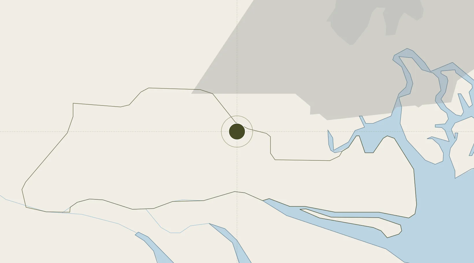
10.4845°, 106.3599°
197 ha
Zone area
50.0 km
Nearest port
49.0 km
Nearest airport

Gateway access

Nearest neighbours — logibook spatial index (haversine) over the source coordinates

Zone profile

Zone type
Industrial Zone
the World Bank SEZ database
Region
Tiền Giang
the World Bank SEZ database
Established
2006
the World Bank SEZ database
Management
Private management
the World Bank SEZ database
Operator
Nhut Thanh production - trade - construction - investment - consultancy JSC
the World Bank SEZ database
Regulatory authority
Chairmen of Provincial People's Committees
the World Bank SEZ database
Legal framework
Law on Foreign Investment in Vietnam, 1996; Decree No. 36/1997/CP on The Regulation of Industrial, Economic and Export processing zones
the World Bank SEZ database

Location

Location of VNM342
Natural Earth 10m (public domain) · Tiền Giang · VNM342 · 10.48, 106.36GoogleOSMYandex

Fiscal & incentives

Corporate tax
20%
the World Bank SEZ database
Tax relief
100% exempt
the World Bank SEZ database
Relief duration
4 years
the World Bank SEZ database
VAT
No exemption
the World Bank SEZ database
Import duty (inputs)
0% exempt
the World Bank SEZ database
Import duty (capex)
100% exempt
the World Bank SEZ database
Profit repatriation
No exemption
the World Bank SEZ database
Capital gains
No exemption
the World Bank SEZ database
Withholding tax
No exemption
the World Bank SEZ database
Min. investment
None
the World Bank SEZ database
Min. export
0%
the World Bank SEZ database
Employment incentive
No exemption
the World Bank SEZ database
Developer incentive
No established framework
the World Bank SEZ database

Nearby Logistics Neighbours

Ports
  1. 1Thanh Ho Chi Minh50 km
  2. 2Cat Lai55 km
  3. 3Thanh Hoa58 km
  4. 4Phu My74 km
  5. 5Vung Tau80 km
Nearest neighbours — logibook spatial index (haversine) over the source coordinates
Airports
  1. 1Tan Son Nhat International Airport49 km
  2. 2Long Thanh International Airport (Under Construction)81 km
  3. 3Can Tho International Airport84 km
  4. 4Rach Gia Airport147 km
  5. 5Techo International Airport185 km
Nearest neighbours — logibook spatial index (haversine) over the source coordinates
Cities
  1. 1Tan An8 km
  2. 2My Thoi15 km
  3. 3Ben Tre28 km
  4. 4Bình Chánh30 km
  5. 5Long An International Port41 km
Nearest neighbours — logibook spatial index (haversine) over the source coordinates
Trade Zones
  1. 1Định An Coastal Economic Zone14 km
  2. 2Thuan Dao Industrial Park21 km
  3. 3Le Minh Xuan Industrial Park35 km
  4. 4Tan Duc Industrial Zone37 km
  5. 5Tan Tao Industrial Park38 km
Nearest neighbours — logibook spatial index (haversine) over the source coordinates
DatabookThe Record of Consolidated Knowledge
Vietnam beyond logistics?
Browse databook

All Sources

Trade Zonesthe World Bank SEZ database
CC BY 4.0
Portsthe NGA World Port Index
Public domain (US gov)
AirportsOurAirports
Public domain
LocationsUN/LOCODE
UN/LOCODE — free
← Vietnam trade zones