Transport Functions
Multimodal
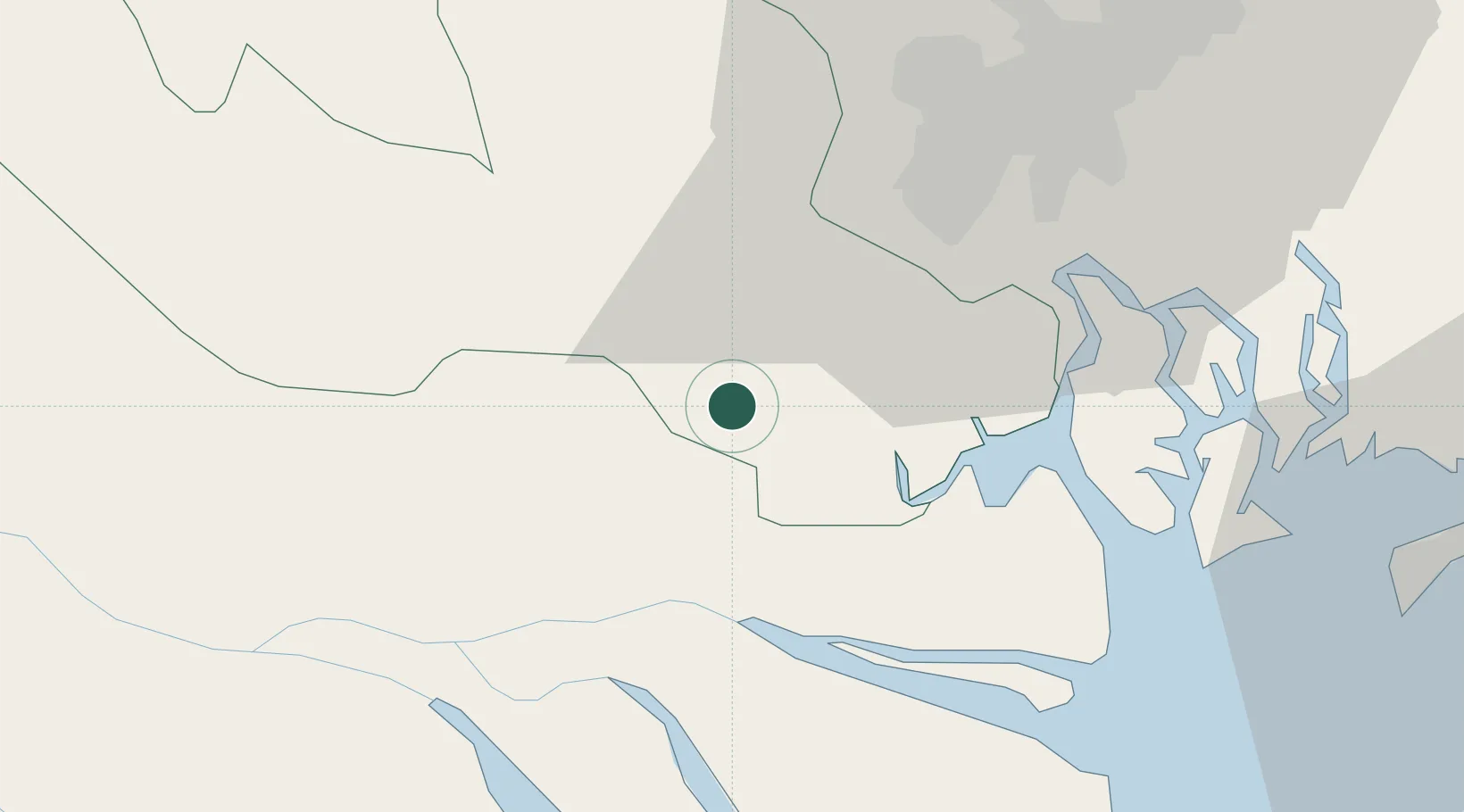
Hub Profile
Place type
Regional capital
Region
Tay Ninh
Population
215,250
Time zone
Asia/Ho_Chi_Minh
Elevation
4 m
Location
Nearby Logistics Neighbours
Cities
- 1My Thoi22 km
- 2Bình Chánh22 km
- 3Ben Tre34 km
- 4Long An International Port35 km
- 5Tan Cang Hiep Phuoc Port38 km
Ports
- 1Thanh Ho Chi Minh42 km
- 2Cat Lai47 km
- 3Thanh Hoa50 km
- 4Phu My68 km
- 5Vung Tau75 km
Airports
Trade Zones
DatabookThe Record of Consolidated Knowledge
Vietnam beyond logistics?