UN/LOCODE hub · United States
USZYQ
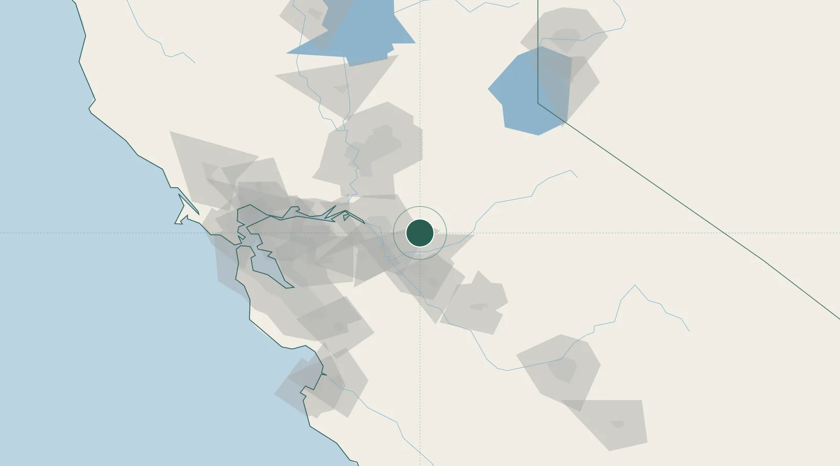
Farmington
37.9167°, -120.9833°
207
Population
1
Transport functions
Transport Functions
Multimodal
Hub Profile
Place type
Populated place
Region
California
Population
207
Time zone
America/Los_Angeles
Elevation
34 m
Location
Nearby Logistics Neighbours
Cities
- 1Collegeville13 km
- 2Atlanta16 km
- 3Riverbank21 km
- 4East Stockton24 km
- 5Stockton25 km
Ports
- 1Stockton28 km
- 2Walnut Grove59 km
- 3Isleton61 km
- 4Rio Vista68 km
- 5Courtland69 km
Airports
Trade Zones
DatabookThe Record of Consolidated Knowledge
United States beyond logistics?