UN/LOCODE hub · United States
USKCO

East Stockton

37.9667°, -121.2500°
2
Transport functions

Transport Functions

Road
Multimodal
UN/LOCODE

Hub Profile

Region
CA
GeoNames

Location

Location of USKCO
Natural Earth 10m (public domain) · CA · USKCO · 37.97, -121.25GoogleOSMYandex

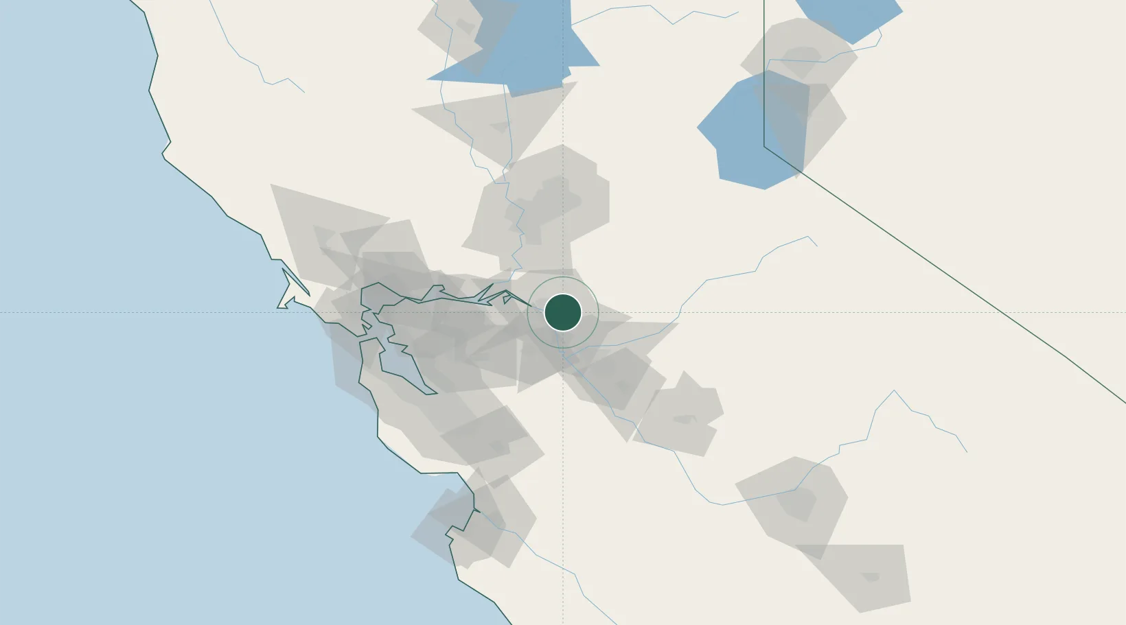
Nearby Logistics Neighbours

Cities
  1. 1Stockton6 km
  2. 2French Camp13 km
  3. 3Collegeville13 km
  4. 4Victor19 km
  5. 5Atlanta20 km
Nearest neighbours — logibook spatial index (haversine) over the source coordinates
Ports
  1. 1Stockton5 km
  2. 2Walnut Grove38 km
  3. 3Isleton38 km
  4. 4Rio Vista44 km
  5. 5Antioch49 km
Nearest neighbours — logibook spatial index (haversine) over the source coordinates
Airports
  1. 1Stockton Metropolitan Airport8 km
  2. 2Modesto City Co-Harry Sham Field46 km
  3. 3Sacramento Executive Airport64 km
  4. 4Sacramento Mather Airport66 km
  5. 5Travis Air Force Base68 km
Nearest neighbours — logibook spatial index (haversine) over the source coordinates
Trade Zones
  1. 1FTZ No. 231 Stockton7 km
  2. 2FTZ No. 143 West Sacramento72 km
  3. 3FTZ No. 018 San Jose90 km
  4. 4FTZ No. 056 Oakland92 km
  5. 5FTZ No. 226 Merced, Madera and Fresno Counties100 km
Nearest neighbours — logibook spatial index (haversine) over the source coordinates
DatabookThe Record of Consolidated Knowledge
United States beyond logistics?
Browse databook

All Sources

LocationsUN/LOCODE
UN/LOCODE — free
Portsthe NGA World Port Index
Public domain (US gov)
AirportsOurAirports
Public domain
Trade Zonesthe World Bank SEZ database
CC BY 4.0
Trade ZonesOpen Zone Map
CC BY
← United States locations