UN/LOCODE hub · United States
USA2N

Atlanta

37.8167°, -121.1167°
2
Transport functions

Transport Functions

Road
Multimodal
UN/LOCODE

Hub Profile

Place type
Populated place
GeoNames
Region
California
GeoNames
Time zone
America/Los_Angeles
GeoNames
Elevation
19 m
GeoNames

Location

Location of USA2N
Natural Earth 10m (public domain) · California · USA2N · 37.82, -121.12GoogleOSMYandex

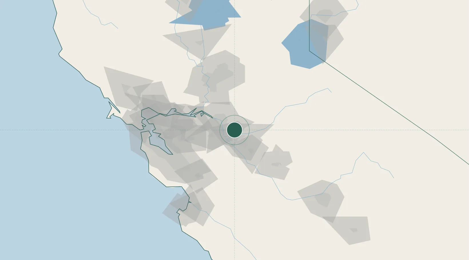
Nearby Logistics Neighbours

Cities
  1. 1Collegeville9 km
  2. 2Salida13 km
  3. 3French Camp14 km
  4. 4Farmington16 km
  5. 5Stockton17 km
Nearest neighbours — logibook spatial index (haversine) over the source coordinates
Ports
  1. 1Stockton22 km
  2. 2Isleton58 km
  3. 3Walnut Grove58 km
  4. 4Rio Vista63 km
  5. 5Antioch64 km
Nearest neighbours — logibook spatial index (haversine) over the source coordinates
Airports
  1. 1Stockton Metropolitan Airport14 km
  2. 2Modesto City Co-Harry Sham Field26 km
  3. 3Castle Airport69 km
  4. 4Merced Regional Macready Field80 km
  5. 5Sacramento Mather Airport84 km
Nearest neighbours — logibook spatial index (haversine) over the source coordinates
Trade Zones
  1. 1FTZ No. 231 Stockton24 km
  2. 2FTZ No. 226 Merced, Madera and Fresno Counties80 km
  3. 3FTZ No. 018 San Jose86 km
  4. 4FTZ No. 143 West Sacramento92 km
  5. 5FTZ No. 056 Oakland102 km
Nearest neighbours — logibook spatial index (haversine) over the source coordinates
DatabookThe Record of Consolidated Knowledge
United States beyond logistics?
Browse databook

All Sources

LocationsUN/LOCODE
UN/LOCODE — free
Portsthe NGA World Port Index
Public domain (US gov)
AirportsOurAirports
Public domain
Trade Zonesthe World Bank SEZ database
CC BY 4.0
Trade ZonesOpen Zone Map
CC BY
← United States locations