UN/LOCODE hub · United States
USSCK
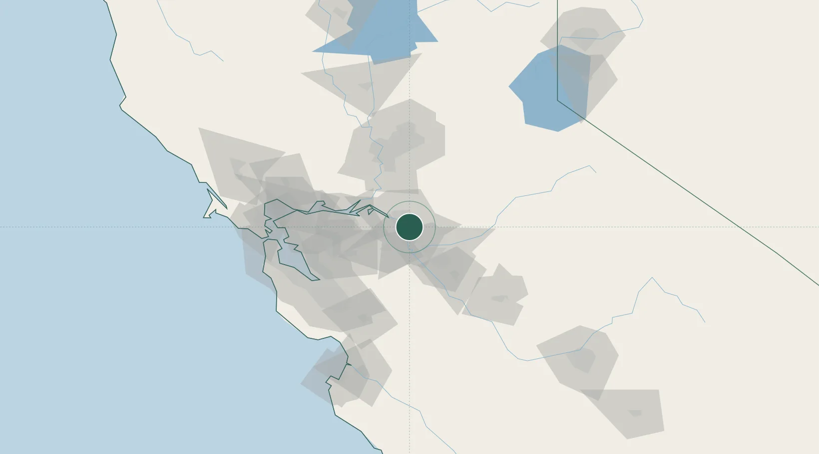
Stockton
37.9141°, -121.2652°
305,658
Population
3
Transport functions
Transport Functions
Port
Road
Airport
Hub Profile
Place type
Provincial seat
Region
California
Population
305,658
Time zone
America/Los_Angeles
Elevation
4 m
Logistics facilities
5
Location
Nearby Logistics Neighbours
Cities
- 1East Stockton6 km
- 2French Camp7 km
- 3Collegeville12 km
- 4Atlanta17 km
- 5Farmington25 km
Ports
- 1Isleton41 km
- 2Walnut Grove42 km
- 3Rio Vista46 km
- 4Antioch48 km
- 5Courtland54 km
Airports
Trade Zones
DatabookThe Record of Consolidated Knowledge
United States beyond logistics?