Medium airport · United States
Sacramento Executive AirportKSAC
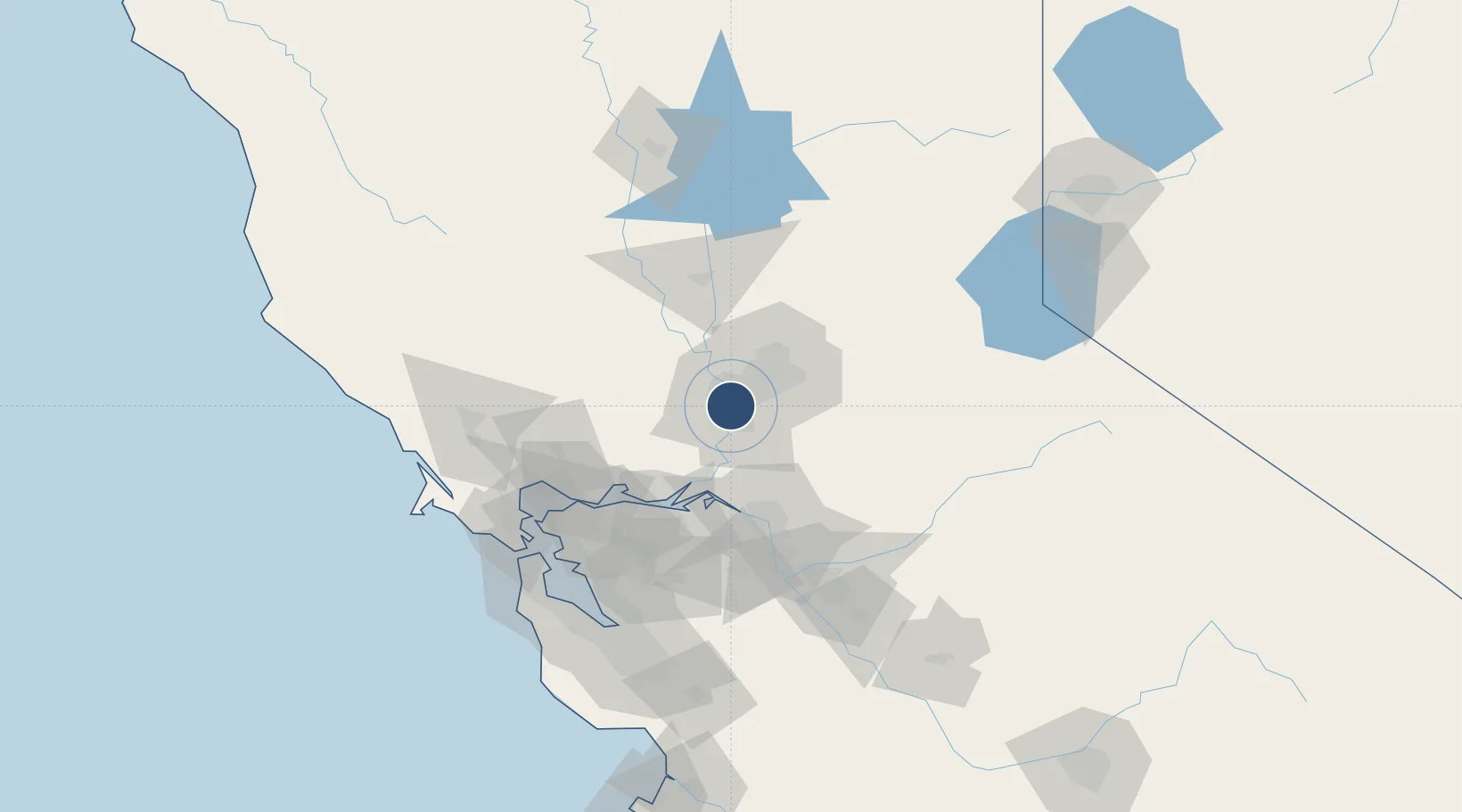
38.5125°, -121.4930°
5,503 ft
Longest runway
3
Runways
24 ft
Elevation
Runway & Layout

Radio Frequencies
ATIS
125.5 MHz
TWR
119.5 MHz
EXEC TWR
GND
125 MHz
CTAF
119.5 MHz
A/D
125.25 MHz
NORCAL APP/DEP
RDO
122.05 MHz
RANCHO RDO
UNIC
122.95 MHz
UNICOM
Navaids
SA NDB Execc 356 kHz
SAC VORTAC Sacramento 115.20 MHz
Runways · 3
| Runway | Dimensions | Surface | True heading | Lit |
|---|---|---|---|---|
| 02/20 | 5,503 × 150ft | Asphalt | 033° | ✓ |
| 12/30 | 3,837 × 100ft | Asphalt | 133° | ✓ |
| 16/34 | 3,485 × 150ft | Asphalt | 180° | — |
Airport Specifications
IATA code
SAC
ICAO code
KSAC
Airport class
Medium airport
Scheduled service
No
Runway surface
Asphalt
Served city
Sacramento
Location
Nearby Logistics Neighbours
Airports
- 1Sacramento Mather Airport18 km
- 2McClellan Airfield19 km
- 3Sacramento International Airport22 km
- 4Travis Air Force Base47 km
- 5Yuba County Airport65 km
Cities
- 1Sacramento16 km
- 2McClellan Air Force Base19 km
- 3Gold River22 km
- 4Orangevale30 km
- 5Walnut Grove31 km
Ports
- 1Sacramento8 km
- 2Courtland21 km
- 3Walnut Grove31 km
- 4Isleton40 km
- 5Rio Vista44 km
Trade Zones
- 1FTZ No. 143 West Sacramento8 km
- 2FTZ No. 231 Stockton64 km
- 3FTZ No. 056 Oakland104 km
- 4FTZ No. 003 San Francisco112 km
- 5FTZ No. 018 San Jose135 km
DatabookThe Record of Consolidated Knowledge
United States beyond logistics?