Transport Functions
Rail
Road
Hub Profile
Place type
Populated place
Region
Georgia
Time zone
America/New_York
Elevation
120 m
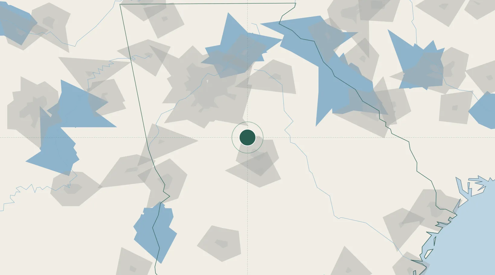
Location
Nearby Logistics Neighbours
Cities
- 1Forsyth15 km
- 2Smarr15 km
- 3Jenkinsburg32 km
- 4Pitts35 km
- 5Milner37 km
Ports
- 1Savannah279 km
- 2Darien294 km
- 3Beaufort302 km
- 4Port Royal303 km
- 5Brunswick307 km
Airports
Trade Zones
- 1FTZ No. 026 Atlanta92 km
- 2FTZ No. 038 Spartanburg County245 km
- 3FTZ No. 222 Montgomery248 km
- 4FTZ No. 233 Dothan258 km
- 5FTZ No. 134 Chattanooga266 km
DatabookThe Record of Consolidated Knowledge
United States beyond logistics?