UN/LOCODE hub · United States
USRQA

Smarr

32.9833°, -83.8833°
3
Transport functions

Transport Functions

Rail
Road
Multimodal
UN/LOCODE

Hub Profile

Place type
Populated place
GeoNames
Region
Georgia
GeoNames
Time zone
America/New_York
GeoNames
Elevation
189 m
GeoNames

Location

Location of USRQA
Natural Earth 10m (public domain) · Georgia · USRQA · 32.98, -83.88GoogleOSMYandex

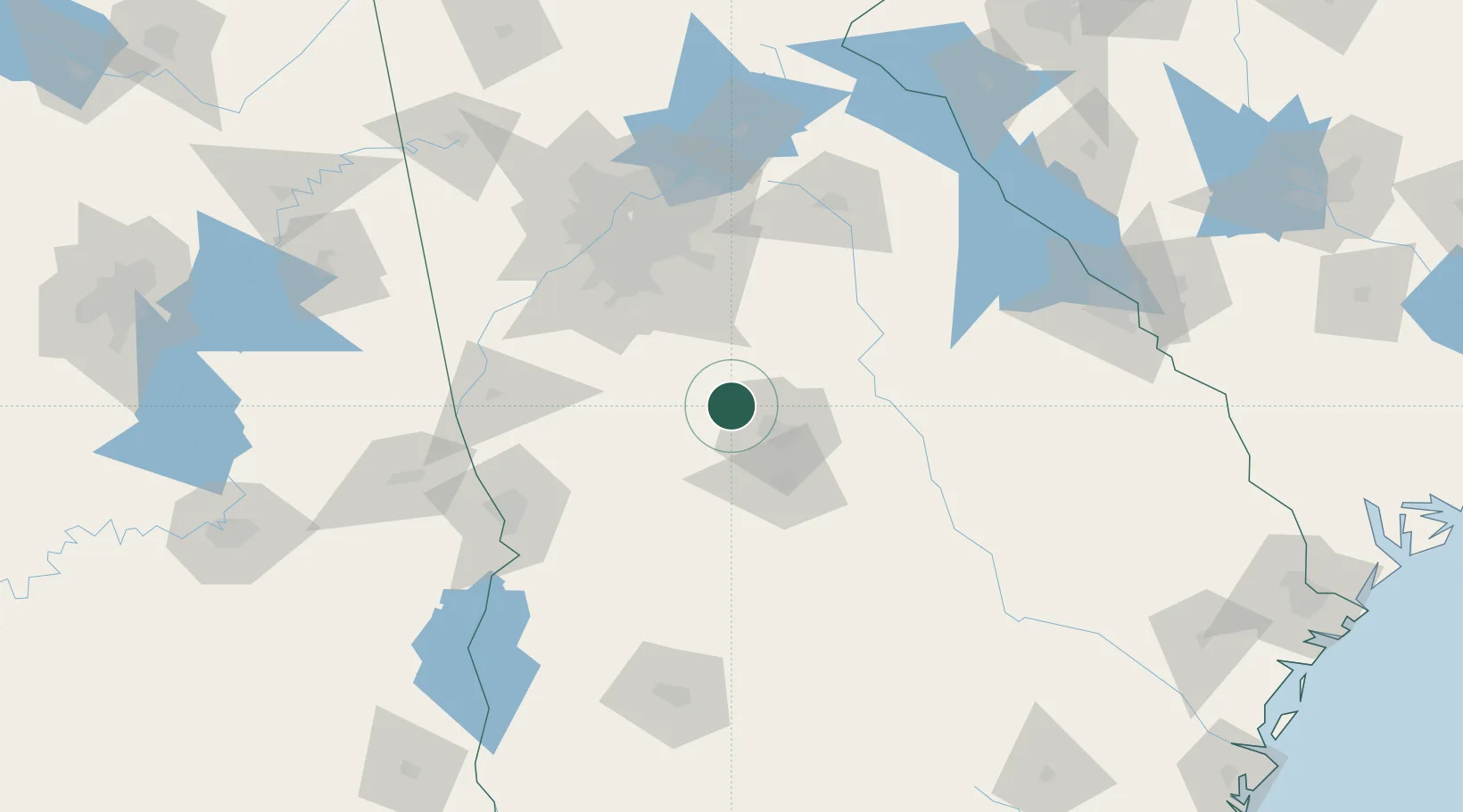
Nearby Logistics Neighbours

Cities
  1. 1Forsyth7 km
  2. 2Juliette15 km
  3. 3Knoxville31 km
  4. 4Roberta32 km
  5. 5The Rock33 km
Nearest neighbours — logibook spatial index (haversine) over the source coordinates
Ports
  1. 1Savannah281 km
  2. 2Darien292 km
  3. 3Brunswick303 km
  4. 4Beaufort307 km
  5. 5Port Royal307 km
Nearest neighbours — logibook spatial index (haversine) over the source coordinates
Airports
  1. 1Middle Georgia Regional Airport39 km
  2. 2Robins Air Force Base47 km
  3. 3Hartsfield Jackson Atlanta International Airport89 km
  4. 4Fulton County Airport Brown Field107 km
  5. 5DeKalb Peachtree Airport107 km
Nearest neighbours — logibook spatial index (haversine) over the source coordinates
Trade Zones
  1. 1FTZ No. 026 Atlanta99 km
  2. 2FTZ No. 222 Montgomery237 km
  3. 3FTZ No. 233 Dothan243 km
  4. 4FTZ No. 038 Spartanburg County260 km
  5. 5FTZ No. 134 Chattanooga273 km
Nearest neighbours — logibook spatial index (haversine) over the source coordinates
DatabookThe Record of Consolidated Knowledge
United States beyond logistics?
Browse databook

All Sources

LocationsUN/LOCODE
UN/LOCODE — free
Portsthe NGA World Port Index
Public domain (US gov)
AirportsOurAirports
Public domain
Trade Zonesthe World Bank SEZ database
CC BY 4.0
Trade ZonesOpen Zone Map
CC BY
← United States locations