UN/LOCODE hub · United States
US8YI
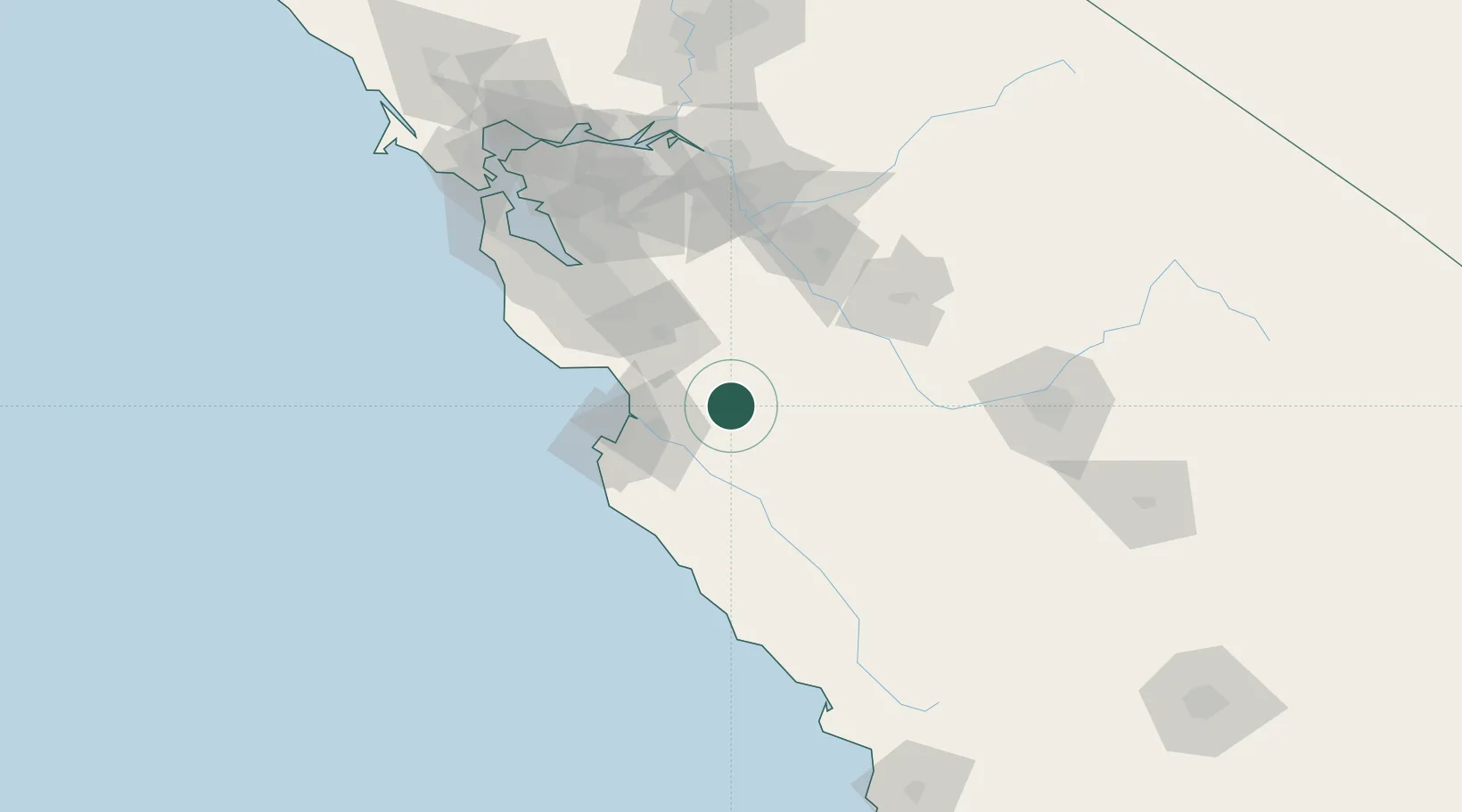
Tres Pinos
36.7833°, -121.3167°
476
Population
2
Transport functions
Transport Functions
Port
Road
Hub Profile
Place type
Populated place
Region
California
Population
476
Time zone
America/Los_Angeles
Elevation
162 m
Location
Nearby Logistics Neighbours
Cities
- 1San Juan Bautista20 km
- 2Prunedale31 km
- 3Aromas32 km
- 4Watsonville41 km
- 5Soledad41 km
Ports
- 1Moss42 km
- 2Monterey54 km
- 3Santa Cruz66 km
- 4Davenport83 km
- 5Redwood City114 km
Airports
Trade Zones
- 1FTZ No. 018 San Jose80 km
- 2FTZ No. 226 Merced, Madera and Fresno Counties94 km
- 3FTZ No. 231 Stockton130 km
- 4FTZ No. 056 Oakland142 km
- 5FTZ No. 003 San Francisco148 km
DatabookThe Record of Consolidated Knowledge
United States beyond logistics?