Medium airport · United States
Monterey Regional AirportKMRY
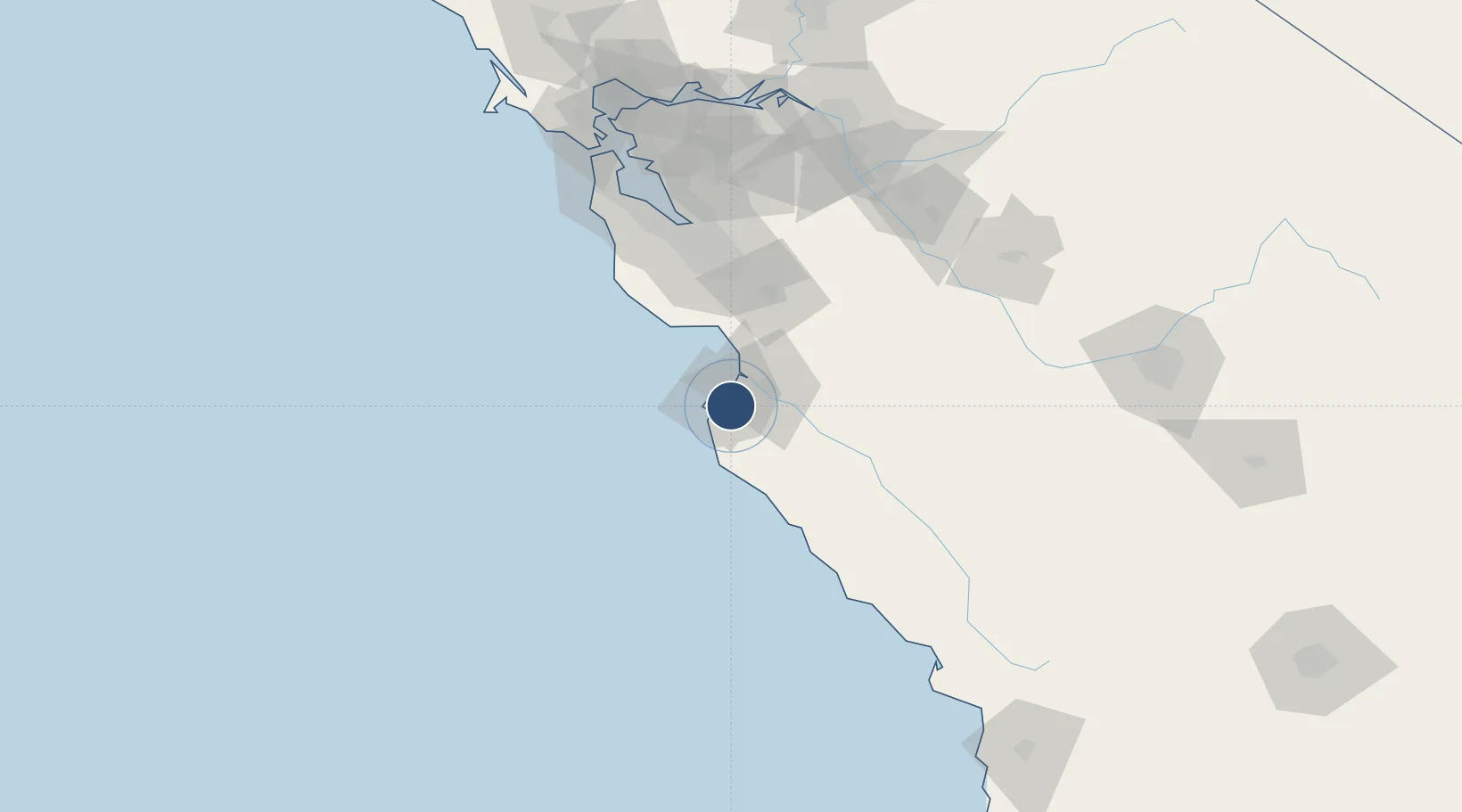
36.5868°, -121.8442°
7,175 ft
Longest runway
2
Runways
257 ft
Elevation
Runway & Layout

Radio Frequencies
ATIS
119.25 MHz
TWR
118.4 MHz
GND
121.9 MHz
CLD
135.45 MHz
CLNC DEL
CTAF
118.4 MHz
A/D
127.15 MHz
NORCAL APP/DEP
UNIC
122.95 MHz
UNICOM
Navaids
MR NDB Munso 385 kHz
Runways · 2
| Runway | Dimensions | Surface | True heading | Lit |
|---|---|---|---|---|
| 10R/28L | 7,175 × 150ft | Asphalt | 113° | ✓ |
| 10L/28R | 3,503 × 60ft | Asphalt | 113° | ✓ |
Airport Specifications
IATA code
MRY
ICAO code
KMRY
Airport class
Medium airport
Scheduled service
Yes
Runway surface
Asphalt
Served city
Monterey
Location
Nearby Logistics Neighbours
Airports
Cities
- 1Monterey5 km
- 2Pacific Grove6 km
- 3Prunedale26 km
- 4Big Sur36 km
- 5Watsonville36 km
Ports
- 1Monterey5 km
- 2Moss24 km
- 3Santa Cruz45 km
- 4Davenport57 km
- 5Redwood City110 km
Trade Zones
- 1FTZ No. 018 San Jose84 km
- 2FTZ No. 056 Oakland141 km
- 3FTZ No. 003 San Francisco143 km
- 4FTZ No. 226 Merced, Madera and Fresno Counties145 km
- 5FTZ No. 231 Stockton158 km
DatabookThe Record of Consolidated Knowledge
United States beyond logistics?