UN/LOCODE hub · United States
USGSW
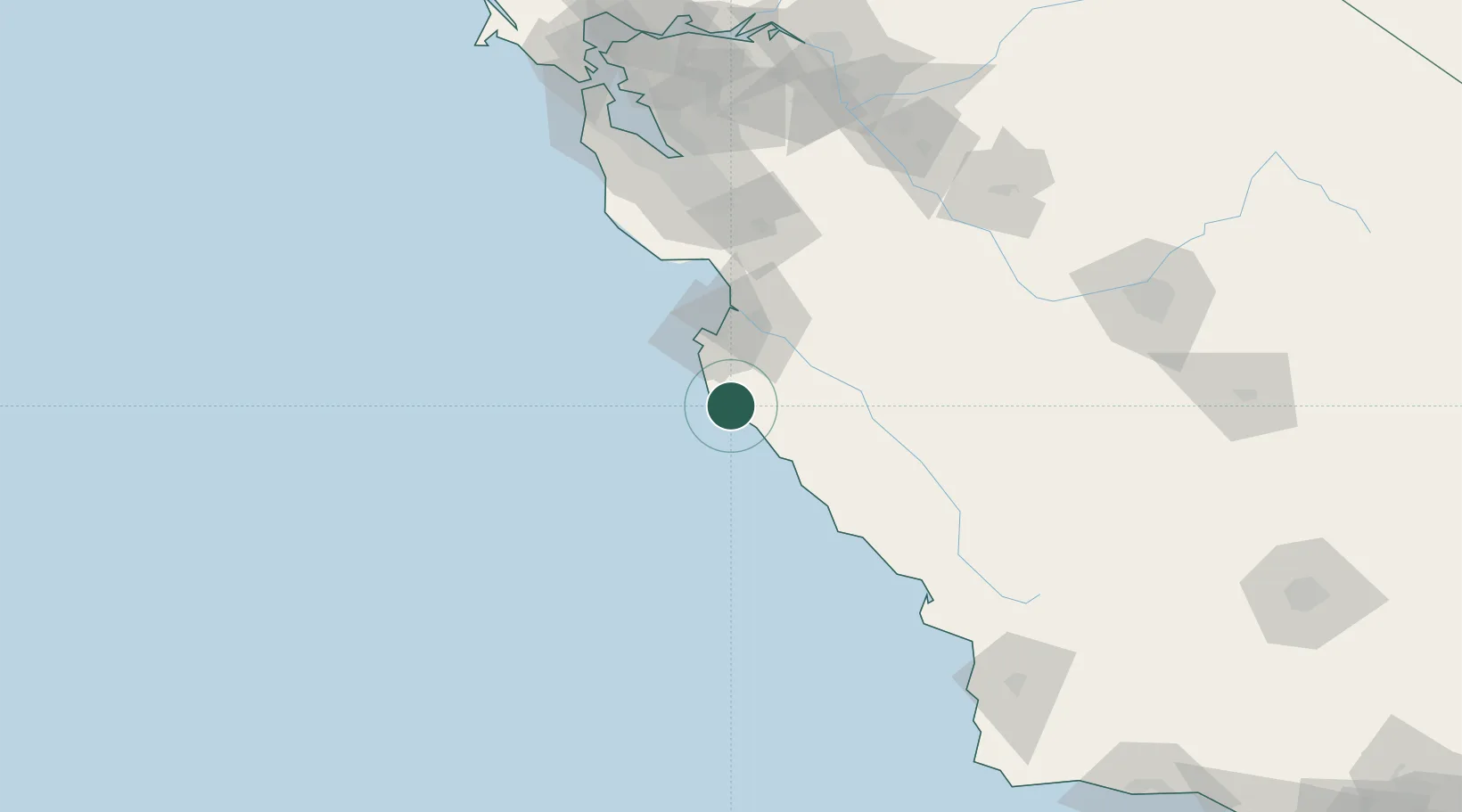
Big Sur
36.2667°, -121.8000°
1,000
Population
2
Transport functions
Transport Functions
Road
Multimodal
Hub Profile
Place type
Populated place
Region
California
Population
1,000
Time zone
America/Los_Angeles
Elevation
44 m
Location
Nearby Logistics Neighbours
Cities
- 1Monterey38 km
- 2Pacific Grove40 km
- 3Soledad46 km
- 4Prunedale57 km
- 5San Juan Bautista67 km
Ports
- 1Monterey40 km
- 2Moss59 km
- 3Santa Cruz80 km
- 4Davenport91 km
- 5Morro Bay132 km
Airports
Trade Zones
- 1FTZ No. 018 San Jose119 km
- 2FTZ No. 226 Merced, Madera and Fresno Counties165 km
- 3FTZ No. 056 Oakland176 km
- 4FTZ No. 003 San Francisco178 km
- 5FTZ No. 231 Stockton192 km
DatabookThe Record of Consolidated Knowledge
United States beyond logistics?