Transport Functions
Port
Rail
Road
Multimodal
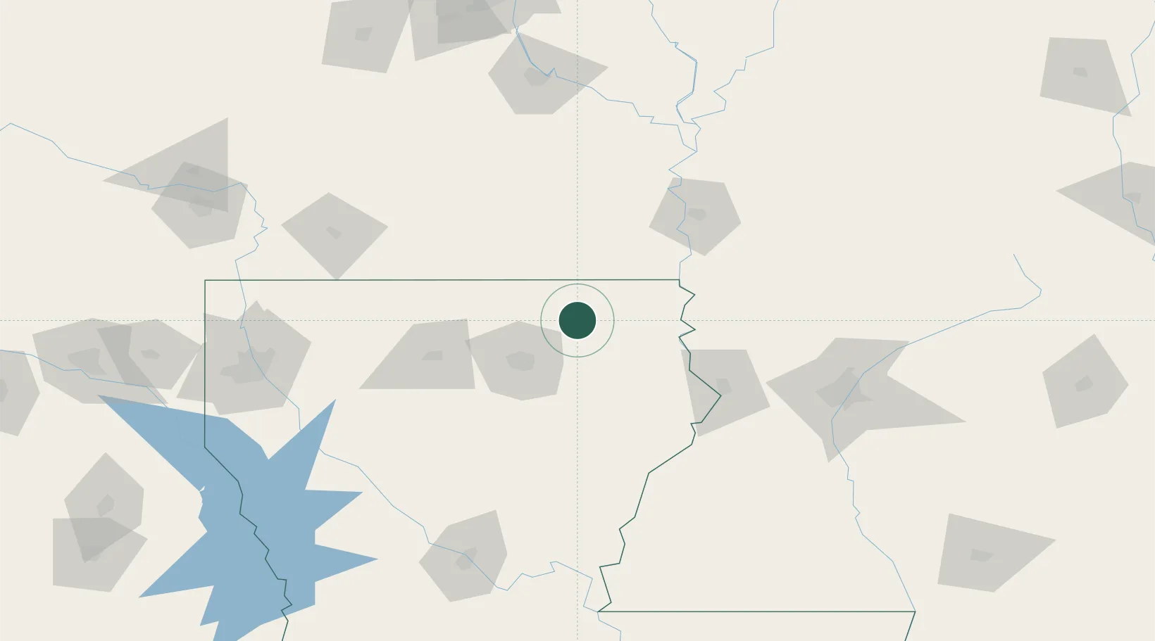
Hub Profile
Place type
Populated place
Region
Louisiana
Population
590
Time zone
America/Chicago
Elevation
29 m
Location
Nearby Logistics Neighbours
Cities
- 1Hamburg50 km
- 2Baskin58 km
- 3Portland58 km
- 4Lake Providence58 km
- 5Eudora62 km
Ports
- 1Baton Rouge264 km
- 2Port Of Memphis296 km
- 3Madisonville305 km
- 4Lake Charles316 km
- 5Convent319 km
Airports
Trade Zones
- 1FTZ No. 158 Vicksburg Jackson106 km
- 2FTZ No. 145 Shreveport206 km
- 3FTZ No. 146 Lawrence County206 km
- 4FTZ No. 014 Little Rock220 km
- 5FTZ No. 287 Tunica County234 km
DatabookThe Record of Consolidated Knowledge
United States beyond logistics?