Foreign Trade Zone · United States

FTZ No. 146 Lawrence County Active
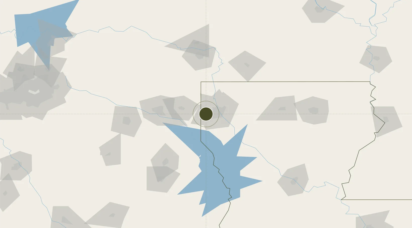
32.4612°, -93.9538°
258.4 km
Nearest port
12.1 km
Nearest airport

Gateway access

Nearest neighbours — logibook spatial index (haversine) over the source coordinates

Zone profile

Zone type
Foreign Trade Zone
Open Zone Map
Region
Louisiana
Open Zone Map
Status
Active
Open Zone Map
Management
Public
Open Zone Map
Operator
Bi-State Authority
Open Zone Map
Legal framework
Foreign-Trade Zones Act
Open Zone Map

Location

Location of ozm-4838
Natural Earth 10m (public domain) · Louisiana · ozm-4838 · 32.46, -93.95GoogleOSMYandex

Nearby Logistics Neighbours

Ports
  1. 1Lake Charles258 km
  2. 2Beaumont265 km
  3. 3Orange265 km
  4. 4Port Neches274 km
  5. 5Port Arthur292 km
Nearest neighbours — logibook spatial index (haversine) over the source coordinates
Airports
  1. 1Shreveport Regional Airport12 km
  2. 2Barksdale Air Force Base28 km
  3. 3East Texas Regional Airport72 km
  4. 4Texarkana Regional Airport (Webb Field)110 km
  5. 5South Arkansas Regional Airport at Goodwin Field136 km
Nearest neighbours — logibook spatial index (haversine) over the source coordinates
Cities
  1. 1Waskom9 km
  2. 2Keithville20 km
  3. 3Oil City31 km
  4. 4Benton33 km
  5. 5Oakland43 km
Nearest neighbours — logibook spatial index (haversine) over the source coordinates
Trade Zones
  1. 1FTZ No. 145 Shreveport0 km
  2. 2FTZ No. 234 Gregg County91 km
  3. 3FTZ No. 258 Bowie County131 km
  4. 4FTZ No. 297 Lufkin150 km
  5. 5FTZ No. 269 Athens184 km
Nearest neighbours — logibook spatial index (haversine) over the source coordinates
DatabookThe Record of Consolidated Knowledge
United States beyond logistics?
Browse databook

All Sources

Trade ZonesOpen Zone Map
CC BY
Portsthe NGA World Port Index
Public domain (US gov)
AirportsOurAirports
Public domain
LocationsUN/LOCODE
UN/LOCODE — free
← United States trade zones