Transport Functions
Rail
Road
Multimodal
Hub Profile
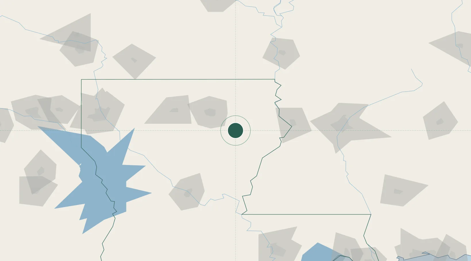
Place type
Populated place
Region
Louisiana
Population
247
Time zone
America/Chicago
Elevation
22 m
Location
Nearby Logistics Neighbours
Cities
- 1Newellton51 km
- 2Tallulah56 km
- 3Mer Rouge58 km
- 4Saint Joseph61 km
- 5Waterproof62 km
Ports
- 1Baton Rouge207 km
- 2Madisonville256 km
- 3Convent263 km
- 4Lake Charles267 km
- 5St. James267 km
Airports
Trade Zones
DatabookThe Record of Consolidated Knowledge
United States beyond logistics?