UN/LOCODE hub · United States
USTMW
Tomahawk
45.4167°, -89.7333°
3,223
Population
2
Transport functions
Transport Functions
Road
Multimodal
Hub Profile
Place type
Populated place
Region
Wisconsin
Population
3,223
Time zone
America/Chicago
Elevation
442 m
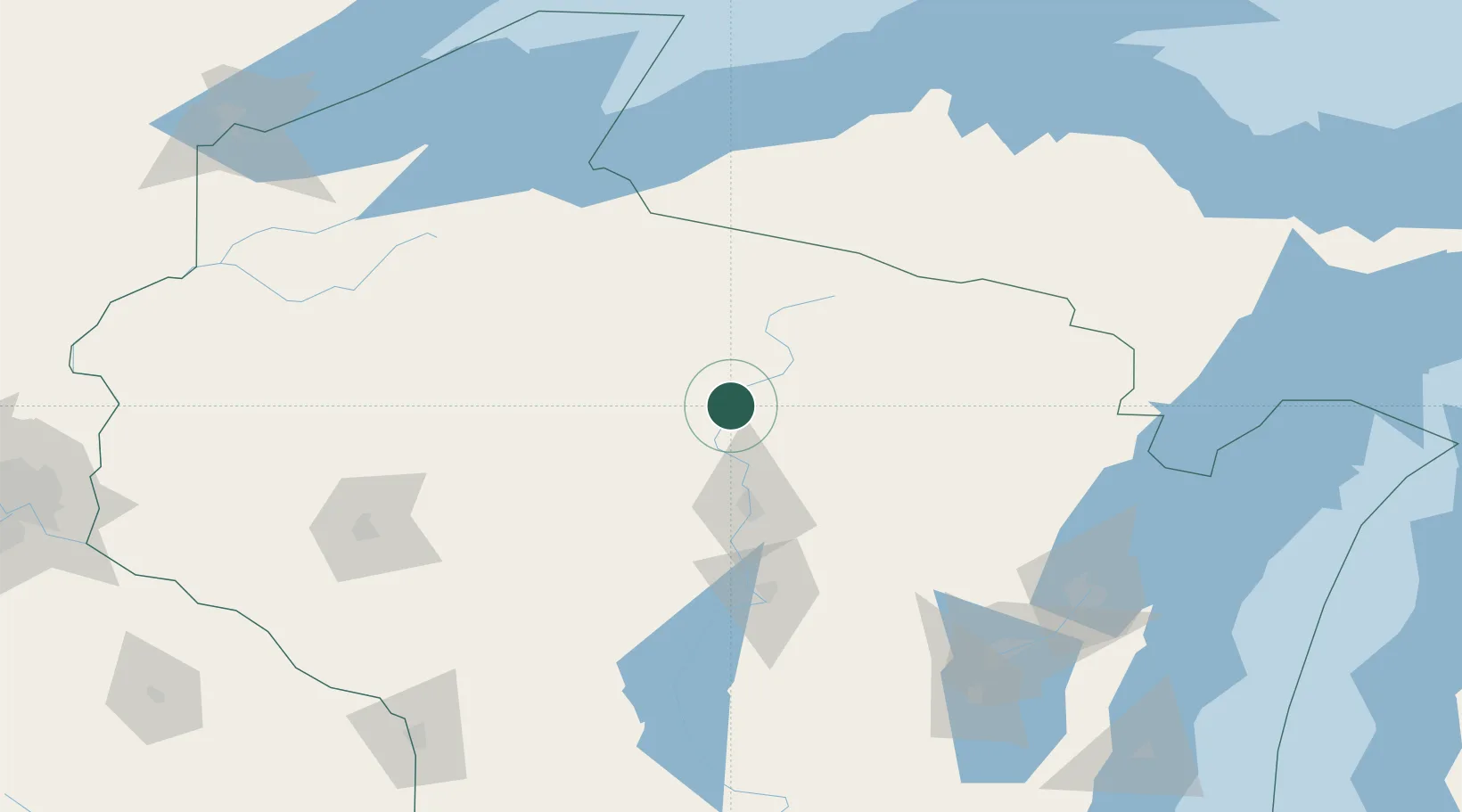
Location
Nearby Logistics Neighbours
Airports
- 1Rhinelander Oneida County Airport32 km
- 2Wausau Downtown Airport55 km
- 3Central Wisconsin Airport71 km
- 4Gogebic Iron County Airport127 km
- 5Ford Airport134 km
Trade Zones
- 1FTZ No. 167 Brown County156 km
- 2FTZ No. 051 Duluth245 km
- 3FTZ No. 266 Dane County261 km
- 4FTZ No. 119 Minneapolis-St. Paul279 km
- 5FTZ No. 041 Milwaukee293 km
DatabookThe Record of Consolidated Knowledge
United States beyond logistics?