Transport Functions
Road
Multimodal
Hub Profile
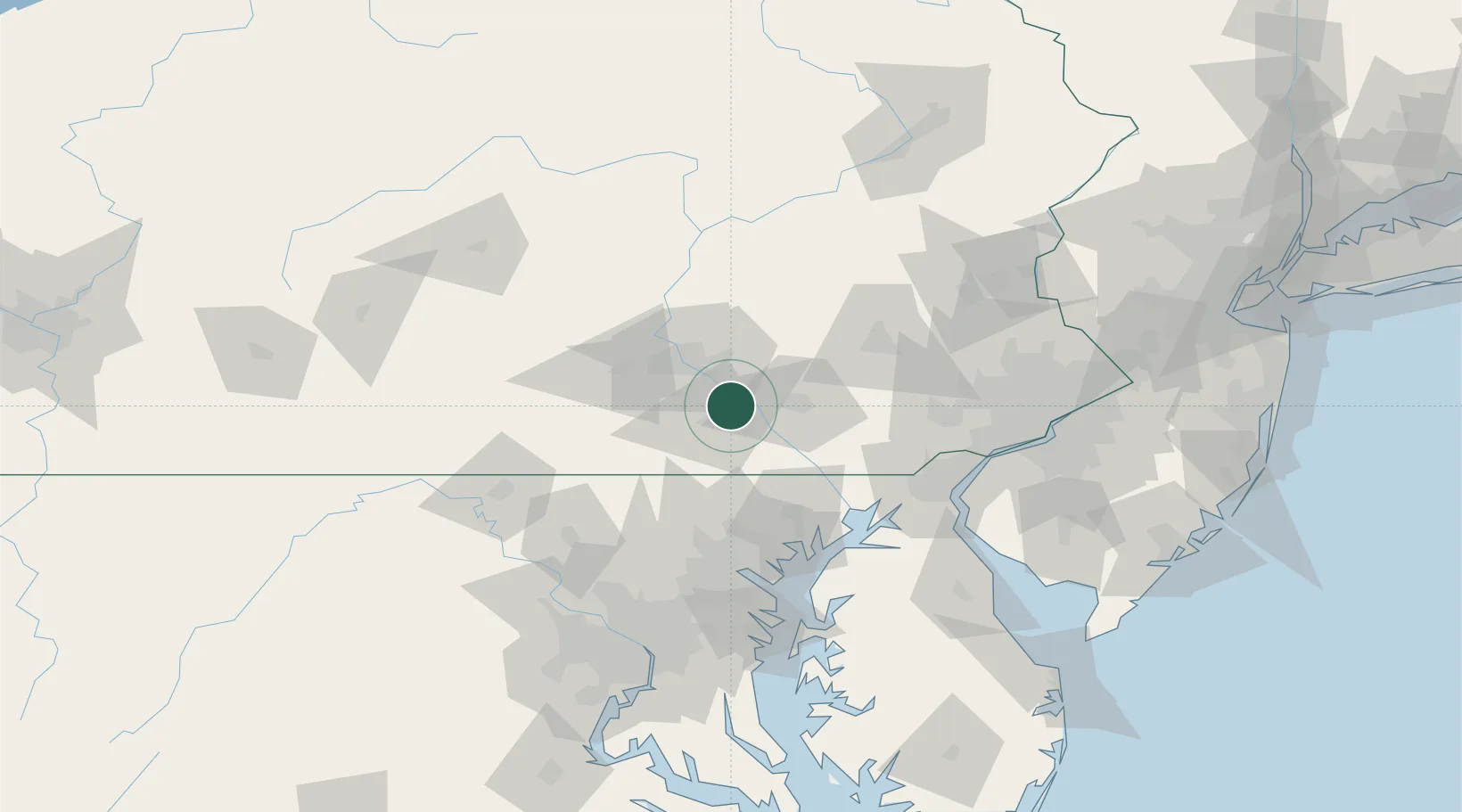
Region
PA
Location
Nearby Logistics Neighbours
Cities
- 1Manchester6 km
- 2Dover18 km
- 3Highspire20 km
- 4Landisville22 km
- 5Swatara23 km
Ports
- 1Havre De Grace75 km
- 2Baltimore87 km
- 3Wilmington100 km
- 4New Castle103 km
- 5Deepwater Point104 km
Airports
Trade Zones
DatabookThe Record of Consolidated Knowledge
United States beyond logistics?