Medium airport · United States

Harrisburg International AirportKMDT
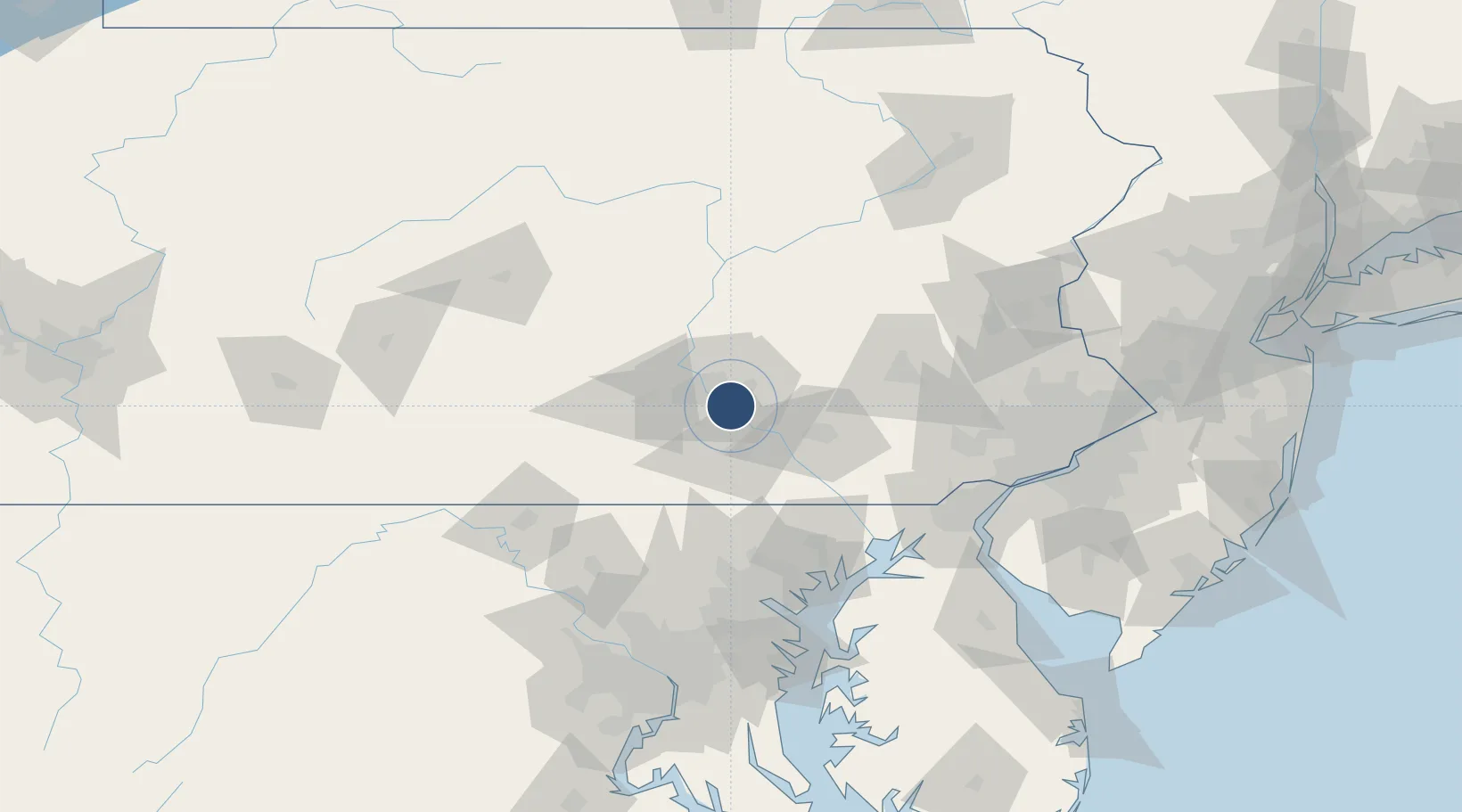
40.1928°, -76.7623°
10,001 ft
Longest runway
1
Runways
310 ft
Elevation

Runway & Layout

Harrisburg International Airport runway & taxiway layout
Runway & taxiway layout — OpenStreetMap (ODbL) / OurAirports

Radio Frequencies

ATIS
118.8 MHz
TWR
124.8 MHz
GND
121.7 MHz
A/D
118.25 MHz
APP/DEP
OPS
39.51 MHz
ANG OPS
OurAirports

Navaids

HAR VORTAC Harrisburg 112.50 MHz
MD NDB Enola 204 kHz
OurAirports

Runways · 1

RunwayDimensions SurfaceTrue headingLit
13/31 10,001 × 200ft Asphalt 117°
OurAirports

Airport Specifications

IATA code
MDT
OurAirports
ICAO code
KMDT
OurAirports
Airport class
Medium airport
OurAirports
Scheduled service
Yes
OurAirports
Runway surface
Asphalt
OurAirports
Served city
Harrisburg
OurAirports

Location

Location of KMDT
Natural Earth 10m (public domain) · Pennsylvania · KMDT · 40.19, -76.76GoogleOSMYandex

Nearby Logistics Neighbours

Airports
  1. 1Muir Army Air Field (Fort Indiantown Gap) Airport32 km
  2. 2Lancaster Airport40 km
  3. 3Reading Regional Airport (Carl A Spaatz Field)71 km
  4. 4Phillips Army Air Field95 km
  5. 5Hagerstown Regional Richard A Henson Field98 km
Nearest neighbours — logibook spatial index (haversine) over the source coordinates
Cities
  1. 1Highspire2 km
  2. 2Swatara5 km
  3. 3Steelton8 km
  4. 4Manchester15 km
  5. 5Codorus Furnance19 km
Nearest neighbours — logibook spatial index (haversine) over the source coordinates
Ports
  1. 1Havre De Grace94 km
  2. 2Baltimore104 km
  3. 3Wilmington115 km
  4. 4New Castle119 km
  5. 5Deepwater Point120 km
Nearest neighbours — logibook spatial index (haversine) over the source coordinates
Trade Zones
  1. 1FTZ No. 147 Berks County48 km
  2. 2FTZ No. 272 Counties of Lehigh and Northampton102 km
  3. 3FTZ No. 074 Baltimore104 km
  4. 4FTZ No. 073 BWI Airport113 km
  5. 5FTZ No. 099 Wilmington115 km
Nearest neighbours — logibook spatial index (haversine) over the source coordinates
DatabookThe Record of Consolidated Knowledge
United States beyond logistics?
Browse databook

All Sources

AirportsOurAirports
Public domain
Portsthe NGA World Port Index
Public domain (US gov)
LocationsUN/LOCODE
UN/LOCODE — free
Trade Zonesthe World Bank SEZ database
CC BY 4.0
Trade ZonesOpen Zone Map
CC BY
InfrastructureOpenStreetMap
ODbL 1.0
← United States airports