UN/LOCODE hub · United States
USHGI
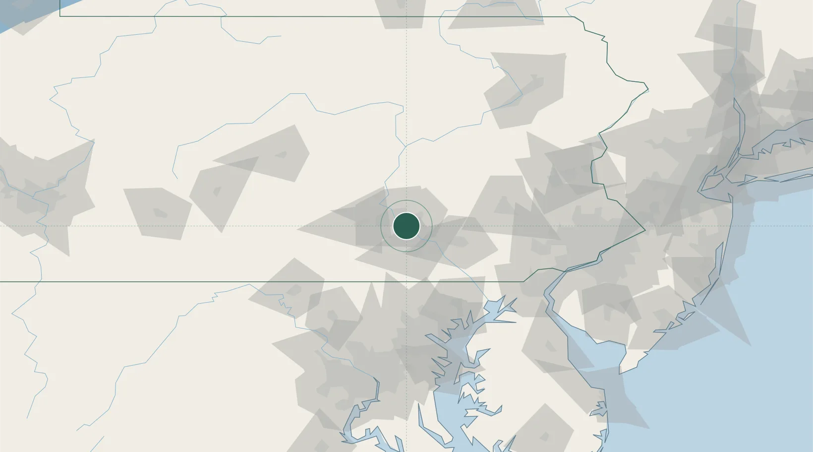
Highspire
40.2000°, -76.7833°
2,378
Population
2
Transport functions
Transport Functions
Rail
Road
Hub Profile
Place type
Populated place
Region
Pennsylvania
Population
2,378
Time zone
America/New_York
Elevation
97 m
Location
Nearby Logistics Neighbours
Cities
- 1Swatara4 km
- 2Steelton6 km
- 3Manchester16 km
- 4Codorus Furnance20 km
- 5Dauphin22 km
Ports
- 1Havre De Grace95 km
- 2Baltimore105 km
- 3Wilmington117 km
- 4New Castle120 km
- 5Deepwater Point121 km
Airports
Trade Zones
- 1FTZ No. 147 Berks County50 km
- 2FTZ No. 272 Counties of Lehigh and Northampton103 km
- 3FTZ No. 074 Baltimore105 km
- 4FTZ No. 073 BWI Airport114 km
- 5FTZ No. 099 Wilmington117 km
DatabookThe Record of Consolidated Knowledge
United States beyond logistics?