Transport Functions
Multimodal
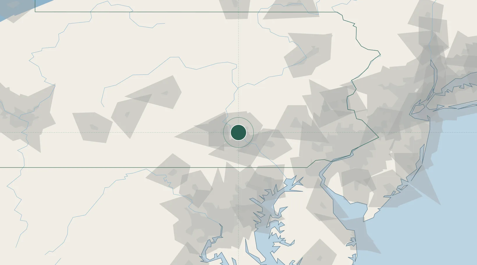
Hub Profile
Place type
Populated place
Region
Pennsylvania
Time zone
America/New_York
Elevation
127 m
Location
Nearby Logistics Neighbours
Cities
- 1Highspire4 km
- 2Steelton4 km
- 3Dauphin19 km
- 4Manchester19 km
- 5Codorus Furnance23 km
Ports
- 1Havre De Grace98 km
- 2Baltimore109 km
- 3Wilmington119 km
- 4New Castle122 km
- 5Deepwater Point123 km
Airports
Trade Zones
- 1FTZ No. 147 Berks County48 km
- 2FTZ No. 272 Counties of Lehigh and Northampton101 km
- 3FTZ No. 074 Baltimore108 km
- 4FTZ No. 073 BWI Airport118 km
- 5FTZ No. 099 Wilmington119 km
DatabookThe Record of Consolidated Knowledge
United States beyond logistics?