Transport Functions
Road
Multimodal
Hub Profile
Place type
Populated place
Region
Pennsylvania
Population
1,991
Time zone
America/New_York
Elevation
136 m
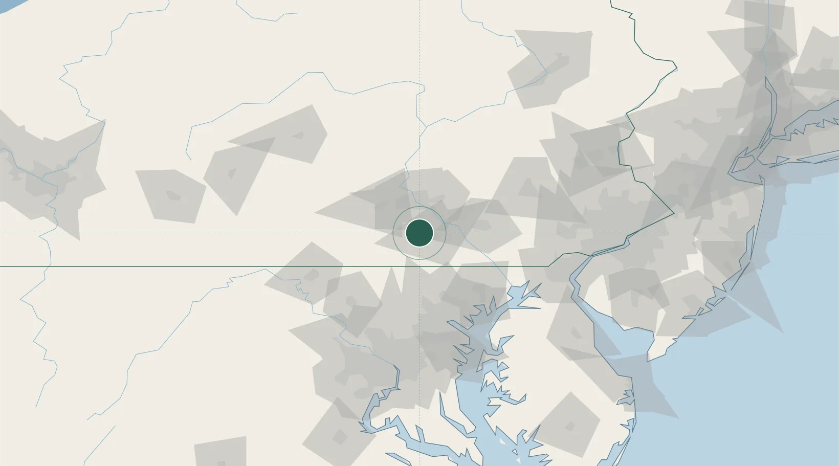
Location
Nearby Logistics Neighbours
Cities
- 1Manchester14 km
- 2Spring Grove15 km
- 3Abbottstown17 km
- 4Codorus Furnance18 km
- 5Dillsburg20 km
Ports
- 1Havre De Grace84 km
- 2Baltimore85 km
- 3Wilmington115 km
- 4New Castle116 km
- 5Annapolis117 km
Airports
Trade Zones
- 1FTZ No. 147 Berks County67 km
- 2FTZ No. 074 Baltimore84 km
- 3FTZ No. 073 BWI Airport93 km
- 4FTZ No. 099 Wilmington115 km
- 5FTZ No. 240 Martinsburg115 km
DatabookThe Record of Consolidated Knowledge
United States beyond logistics?