Medium airport · United States

Lancaster AirportKLNS
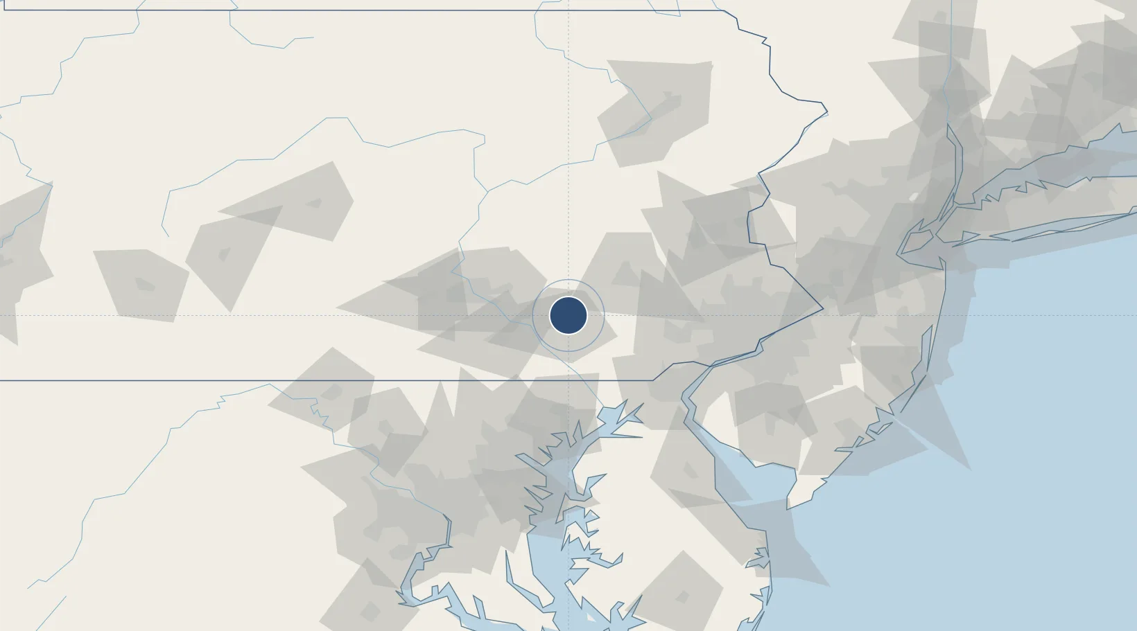
40.1217°, -76.2961°
6,933 ft
Longest runway
2
Runways
403 ft
Elevation

Runway & Layout

Lancaster Airport runway & taxiway layout
Runway & taxiway layout — OpenStreetMap (ODbL) / OurAirports

Radio Frequencies

ATIS
125.675 MHz
TWR
120.9 MHz
GND
121.8 MHz
CTAF
120.9 MHz
A/D
126.45 MHz
HARRISBURG APP/DEP
RDO
117.3 MHz
WILLIAMSPORT RDO
UNIC
122.95 MHz
UNICOM
OurAirports

Navaids

LRP VORTAC Lancaster 117.30 MHz
OurAirports

Runways · 2

RunwayDimensions SurfaceTrue headingLit
08/26 6,933 × 150ft Asphalt 068°
13/31 4,102 × 100ft Asphalt 119°
OurAirports

Airport Specifications

IATA code
LNS
OurAirports
ICAO code
KLNS
OurAirports
Airport class
Medium airport
OurAirports
Scheduled service
Yes
OurAirports
Runway surface
Asphalt
OurAirports
Served city
Lancaster
OurAirports

Location

Location of KLNS
Natural Earth 10m (public domain) · Pennsylvania · KLNS · 40.12, -76.30GoogleOSMYandex

Nearby Logistics Neighbours

Airports
  1. 1Reading Regional Airport (Carl A Spaatz Field)40 km
  2. 2Harrisburg International Airport40 km
  3. 3Muir Army Air Field (Fort Indiantown Gap) Airport42 km
  4. 4Phillips Army Air Field74 km
  5. 5Wilmington Airport77 km
Nearest neighbours — logibook spatial index (haversine) over the source coordinates
Cities
  1. 1Landisville10 km
  2. 2Smoketown14 km
  3. 3Millersville14 km
  4. 4Lampeter16 km
  5. 5Ronks16 km
Nearest neighbours — logibook spatial index (haversine) over the source coordinates
Ports
  1. 1Havre De Grace68 km
  2. 2Wilmington77 km
  3. 3Deepwater Point81 km
  4. 4New Castle81 km
  5. 5Marcus Hook82 km
Nearest neighbours — logibook spatial index (haversine) over the source coordinates
Trade Zones
  1. 1FTZ No. 147 Berks County32 km
  2. 2FTZ No. 099 Wilmington77 km
  3. 3FTZ No. 272 Counties of Lehigh and Northampton79 km
  4. 4FTZ No. 035 Philadelphia89 km
  5. 5FTZ No. 074 Baltimore98 km
Nearest neighbours — logibook spatial index (haversine) over the source coordinates
DatabookThe Record of Consolidated Knowledge
United States beyond logistics?
Browse databook

All Sources

AirportsOurAirports
Public domain
Portsthe NGA World Port Index
Public domain (US gov)
LocationsUN/LOCODE
UN/LOCODE — free
Trade Zonesthe World Bank SEZ database
CC BY 4.0
Trade ZonesOpen Zone Map
CC BY
InfrastructureOpenStreetMap
ODbL 1.0
← United States airports