Medium airport · United States

Reading Regional Airport (Carl A Spaatz Field)KRDG
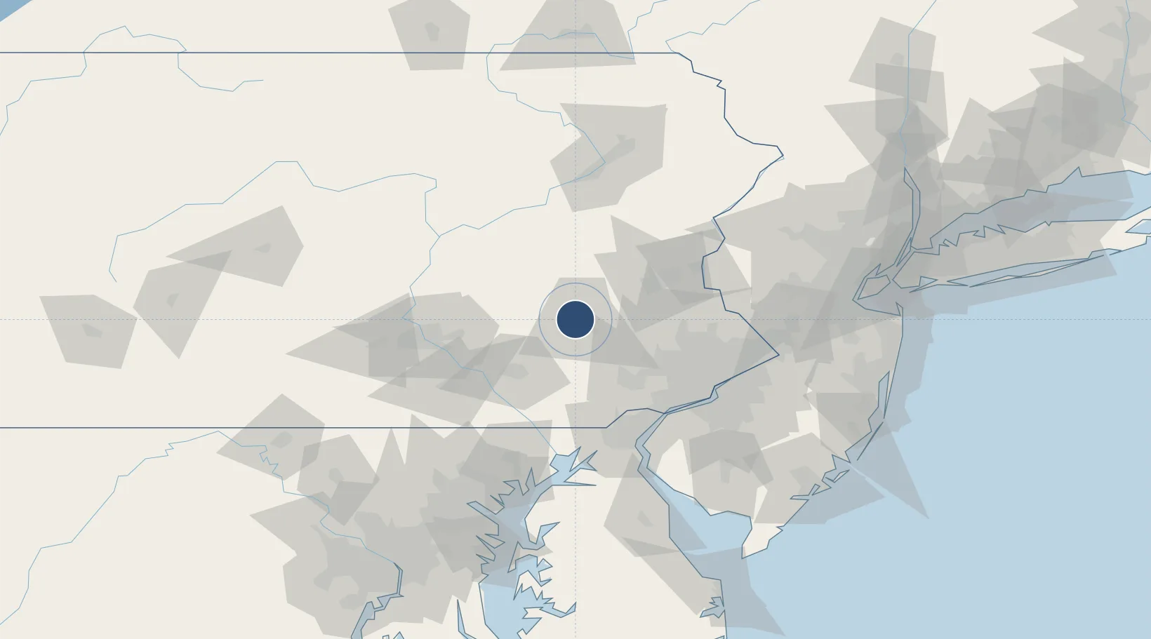
40.3785°, -75.9652°
6,350 ft
Longest runway
2
Runways
344 ft
Elevation

Runway & Layout

Reading Regional Airport (Carl A Spaatz Field) runway & taxiway layout
Runway & taxiway layout — OpenStreetMap (ODbL) / OurAirports

Radio Frequencies

ATIS
127.1 MHz
TWR
119.9 MHz
GND
121.9 MHz
CTAF
119.9 MHz
A/D
125.15 MHz
APP/DEP
UNIC
122.95 MHz
UNICOM
OurAirports

Navaids

RD NDB Shapp 356 kHz
OurAirports

Runways · 2

RunwayDimensions SurfaceTrue headingLit
13/31 6,350 × 150ft Asphalt 121°
18/36 5,151 × 150ft Asphalt 172°
OurAirports

Airport Specifications

IATA code
RDG
OurAirports
ICAO code
KRDG
OurAirports
Airport class
Medium airport
OurAirports
Scheduled service
No
OurAirports
Runway surface
Asphalt
OurAirports
Served city
Reading
OurAirports

Location

Location of KRDG
Natural Earth 10m (public domain) · Pennsylvania · KRDG · 40.38, -75.97GoogleOSMYandex

Nearby Logistics Neighbours

Airports
  1. 1Lancaster Airport40 km
  2. 2Muir Army Air Field (Fort Indiantown Gap) Airport52 km
  3. 3Lehigh Valley International Airport54 km
  4. 4Harrisburg International Airport71 km
  5. 5Philadelphia International Airport83 km
Nearest neighbours — logibook spatial index (haversine) over the source coordinates
Cities
  1. 1Muhlenberg3 km
  2. 2Laureldale4 km
  3. 3West Reading6 km
  4. 4Mohnton11 km
  5. 5Wernersville11 km
Nearest neighbours — logibook spatial index (haversine) over the source coordinates
Ports
  1. 1Marcus Hook78 km
  2. 2Chester79 km
  3. 3Wilmington80 km
  4. 4Deepwater Point85 km
  5. 5Paulsboro85 km
Nearest neighbours — logibook spatial index (haversine) over the source coordinates
Trade Zones
  1. 1FTZ No. 147 Berks County26 km
  2. 2FTZ No. 272 Counties of Lehigh and Northampton39 km
  3. 3FTZ No. 035 Philadelphia73 km
  4. 4FTZ No. 099 Wilmington79 km
  5. 5FTZ No. 200 Mercer County95 km
Nearest neighbours — logibook spatial index (haversine) over the source coordinates
DatabookThe Record of Consolidated Knowledge
United States beyond logistics?
Browse databook

All Sources

AirportsOurAirports
Public domain
Portsthe NGA World Port Index
Public domain (US gov)
LocationsUN/LOCODE
UN/LOCODE — free
Trade Zonesthe World Bank SEZ database
CC BY 4.0
Trade ZonesOpen Zone Map
CC BY
InfrastructureOpenStreetMap
ODbL 1.0
← United States airports