UN/LOCODE hub · United States
USYMC
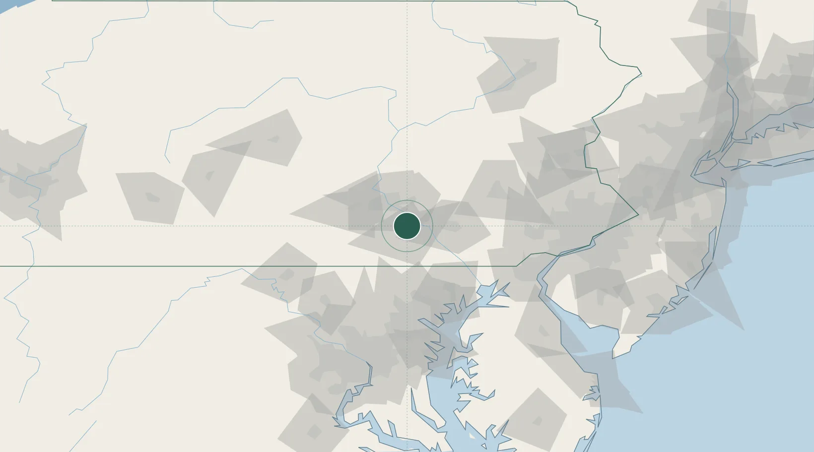
Manchester
40.0667°, -76.7167°
2,753
Population
3
Transport functions
Transport Functions
Rail
Road
Multimodal
Hub Profile
Place type
Populated place
Region
Pennsylvania
Population
2,753
Time zone
America/New_York
Elevation
153 m
Location
Nearby Logistics Neighbours
Cities
- 1Codorus Furnance6 km
- 2Dover14 km
- 3Highspire16 km
- 4Swatara19 km
- 5Steelton21 km
Ports
- 1Havre De Grace80 km
- 2Baltimore90 km
- 3Wilmington106 km
- 4New Castle109 km
- 5Deepwater Point110 km
Airports
Trade Zones
DatabookThe Record of Consolidated Knowledge
United States beyond logistics?