Medium airport · United States
Muir Army Air Field (Fort Indiantown Gap) AirportKMUI
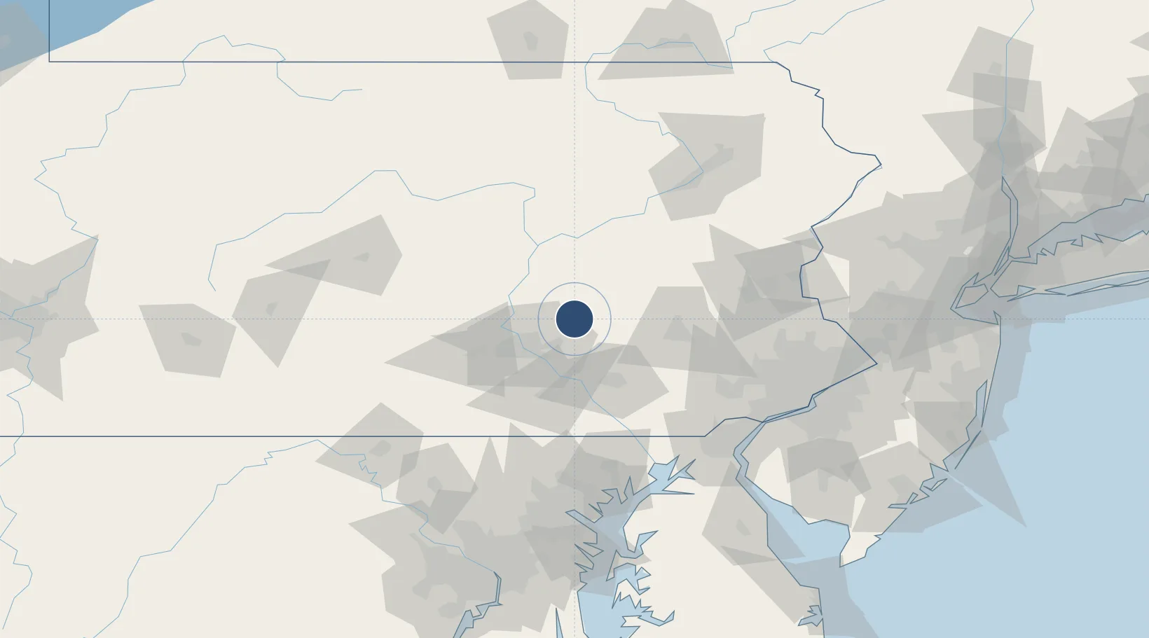
40.4352°, -76.5687°
3,981 ft
Longest runway
4
Runways
488 ft
Elevation
Runway & Layout

Radio Frequencies
TWR
126.2 MHz
GND
121.625 MHz
CTAF
126.2 MHz
A/D
118.25 MHz
HARRISBURG APP/DEP
MISC
40.9 MHz
FLT FLW
OPS
49.95 MHz
ARNG OPS
Navaids
BZJ NDB Bellgrove 328 kHz
Runways · 4
| Runway | Dimensions | Surface | True heading | Lit |
|---|---|---|---|---|
| 07/25 | 3,981 × 98ft | Asphalt | 060° | ✓ |
| H1 | 100 × 100ft | Concrete | — | — |
| H2 | 100 × 100ft | Concrete | — | — |
| H3 | 100 × 100ft | Concrete | — | — |
Airport Specifications
IATA code
MUI
ICAO code
KMUI
Airport class
Medium airport
Scheduled service
No
Runway surface
Asphalt
Served city
Fort Indiantown Gap(Annville)
Location
Nearby Logistics Neighbours
Airports
Cities
- 1Lykens18 km
- 2Elizabethville22 km
- 3Gratz24 km
- 4Myerstown24 km
- 5Tremont26 km
Ports
- 1Havre De Grace109 km
- 2Wilmington117 km
- 3Marcus Hook120 km
- 4Deepwater Point121 km
- 5New Castle122 km
Trade Zones
DatabookThe Record of Consolidated Knowledge
United States beyond logistics?