UN/LOCODE hub · United States
USLNL
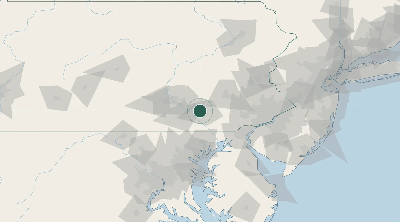
Landisville
40.0833°, -76.4000°
1,893
Population
3
Transport functions
Transport Functions
Rail
Road
Multimodal
Hub Profile
Place type
Populated place
Region
Pennsylvania
Population
1,893
Time zone
America/New_York
Elevation
124 m
Location
Nearby Logistics Neighbours
Cities
- 1Millersville10 km
- 2Lampeter17 km
- 3Smoketown19 km
- 4Ronks21 km
- 5Codorus Furnance22 km
Ports
- 1Havre De Grace67 km
- 2Wilmington82 km
- 3New Castle86 km
- 4Deepwater Point87 km
- 5Marcus Hook89 km
Airports
Trade Zones
DatabookThe Record of Consolidated Knowledge
United States beyond logistics?