Transport Functions
Rail
Road
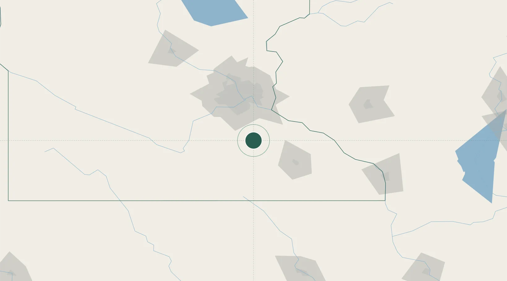
Hub Profile
Place type
Populated place
Region
Minnesota
Population
299
Time zone
America/Chicago
Elevation
363 m
Location
Nearby Logistics Neighbours
Cities
- 1Dundas15 km
- 2Webster30 km
- 3Zumbrota32 km
- 4Farmington34 km
- 5Pine Island38 km
Ports
- 1Superior278 km
- 2Duluth281 km
- 3Ashland305 km
- 4Washburn310 km
- 5Two Harbors318 km
Airports
Trade Zones
- 1FTZ No. 119 Minneapolis-St. Paul72 km
- 2FTZ No. 288 Northwest Iowa274 km
- 3FTZ No. 051 Duluth278 km
- 4FTZ No. 175 Cedar Rapids283 km
- 5FTZ No. 107 Polk County301 km
DatabookThe Record of Consolidated Knowledge
United States beyond logistics?