Transport Functions
Road
Multimodal
Hub Profile
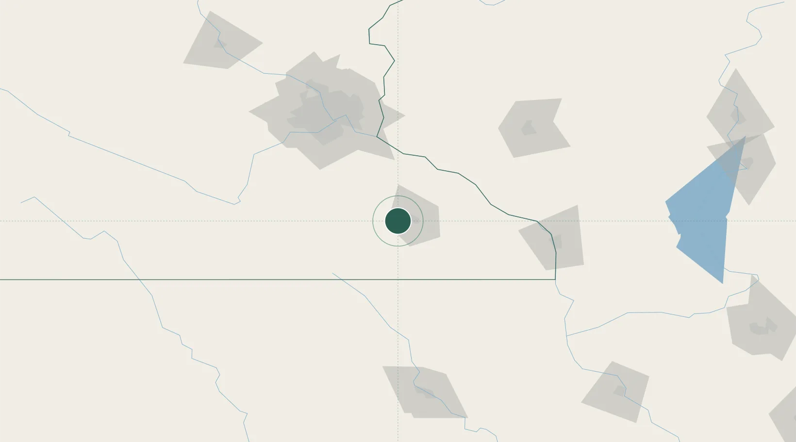
Place type
Populated place
Region
Minnesota
Population
5,328
Time zone
America/Chicago
Elevation
383 m
Location
Nearby Logistics Neighbours
Cities
- 1Kasson8 km
- 2Pine Island20 km
- 3Stewartville22 km
- 4Zumbrota30 km
- 5Blooming Prairie37 km
Airports
Trade Zones
DatabookThe Record of Consolidated Knowledge
United States beyond logistics?