Transport Functions
Road
Multimodal
Hub Profile
Place type
Provincial seat
Region
North Carolina
Population
1,726
Time zone
America/New_York
Elevation
893 m
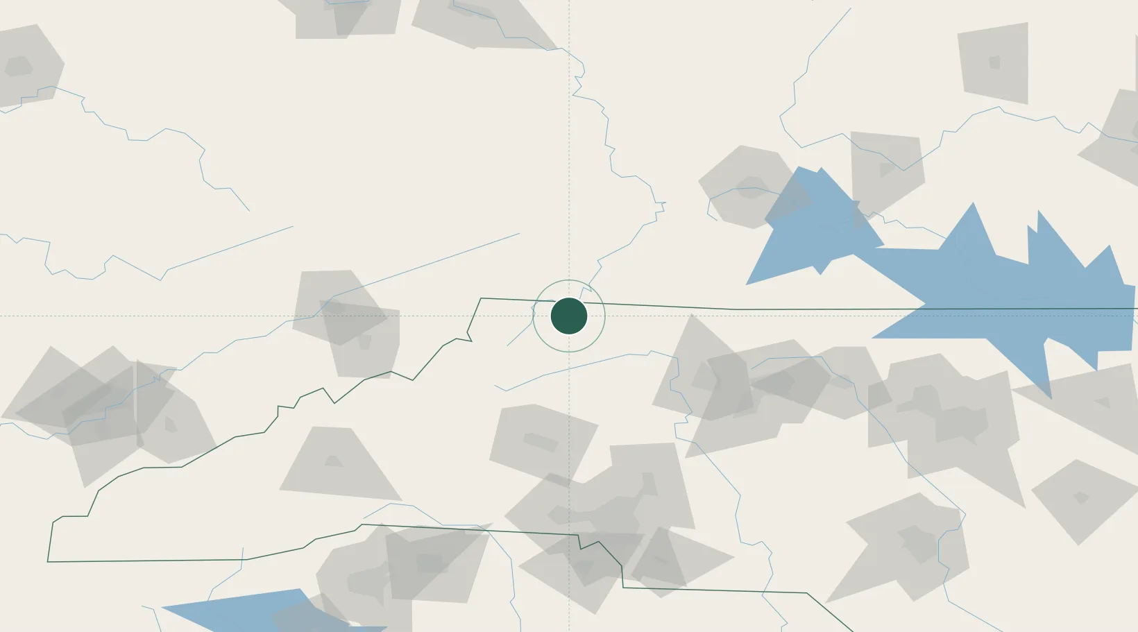
Location
Nearby Logistics Neighbours
Cities
- 1Jefferson33 km
- 2Ronda36 km
- 3Dobson37 km
- 4Jonesville39 km
- 5Deep Gap45 km
Ports
- 1Richmond348 km
- 2Washington381 km
- 3Fredericksburg381 km
- 4Wilmington382 km
- 5Georgetown386 km
Airports
Trade Zones
- 1FTZ No. 238 Dublin76 km
- 2FTZ No. 230 Piedmont Triad Area93 km
- 3FTZ No. 204 Tri-Cities116 km
- 4FTZ No. 057 Mecklenburg County138 km
- 5FTZ No. 038 Spartanburg County206 km
DatabookThe Record of Consolidated Knowledge
United States beyond logistics?