Transport Functions
Port
Road
Hub Profile
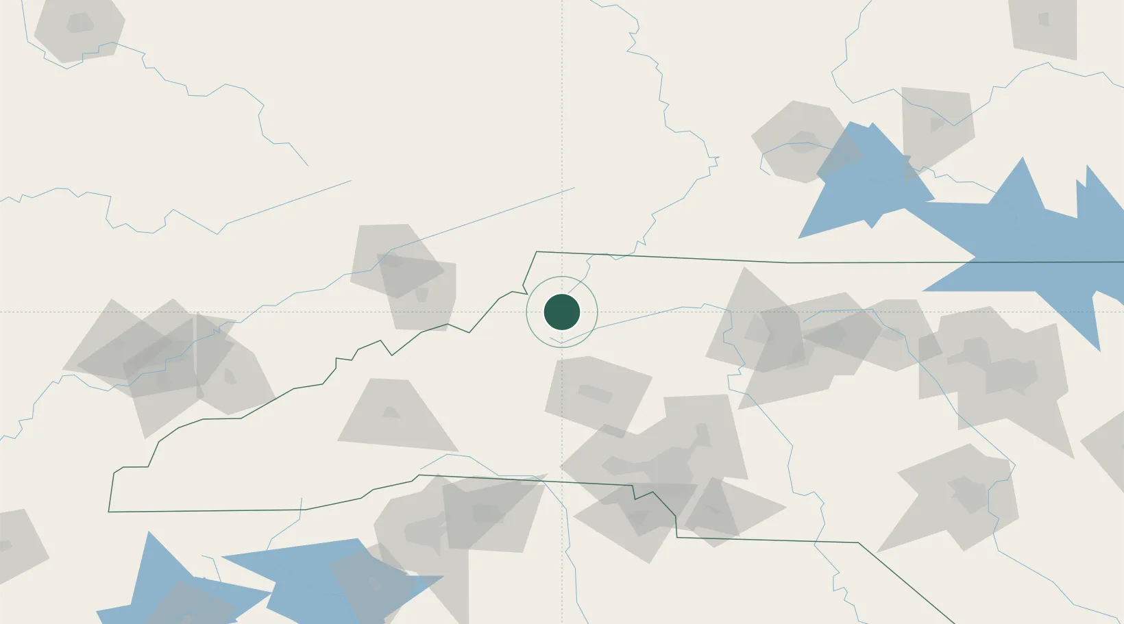
Place type
Populated place
Region
North Carolina
Time zone
America/New_York
Elevation
915 m
Location
Nearby Logistics Neighbours
Ports
- 1Georgetown378 km
- 2Richmond391 km
- 3Wilmington392 km
- 4Wrightsville403 km
- 5Washington408 km
Airports
- 1Hickory Regional Airport56 km
- 2Tri-Cities Regional TN/VA Airport86 km
- 3Smith Reynolds Airport115 km
- 4Concord-Padgett Regional Airport118 km
- 5Mercer County Airport121 km
Trade Zones
- 1FTZ No. 204 Tri-Cities86 km
- 2FTZ No. 057 Mecklenburg County115 km
- 3FTZ No. 238 Dublin120 km
- 4FTZ No. 230 Piedmont Triad Area121 km
- 5FTZ No. 038 Spartanburg County164 km
DatabookThe Record of Consolidated Knowledge
United States beyond logistics?