UN/LOCODE hub · United States
USJFZ
Jefferson
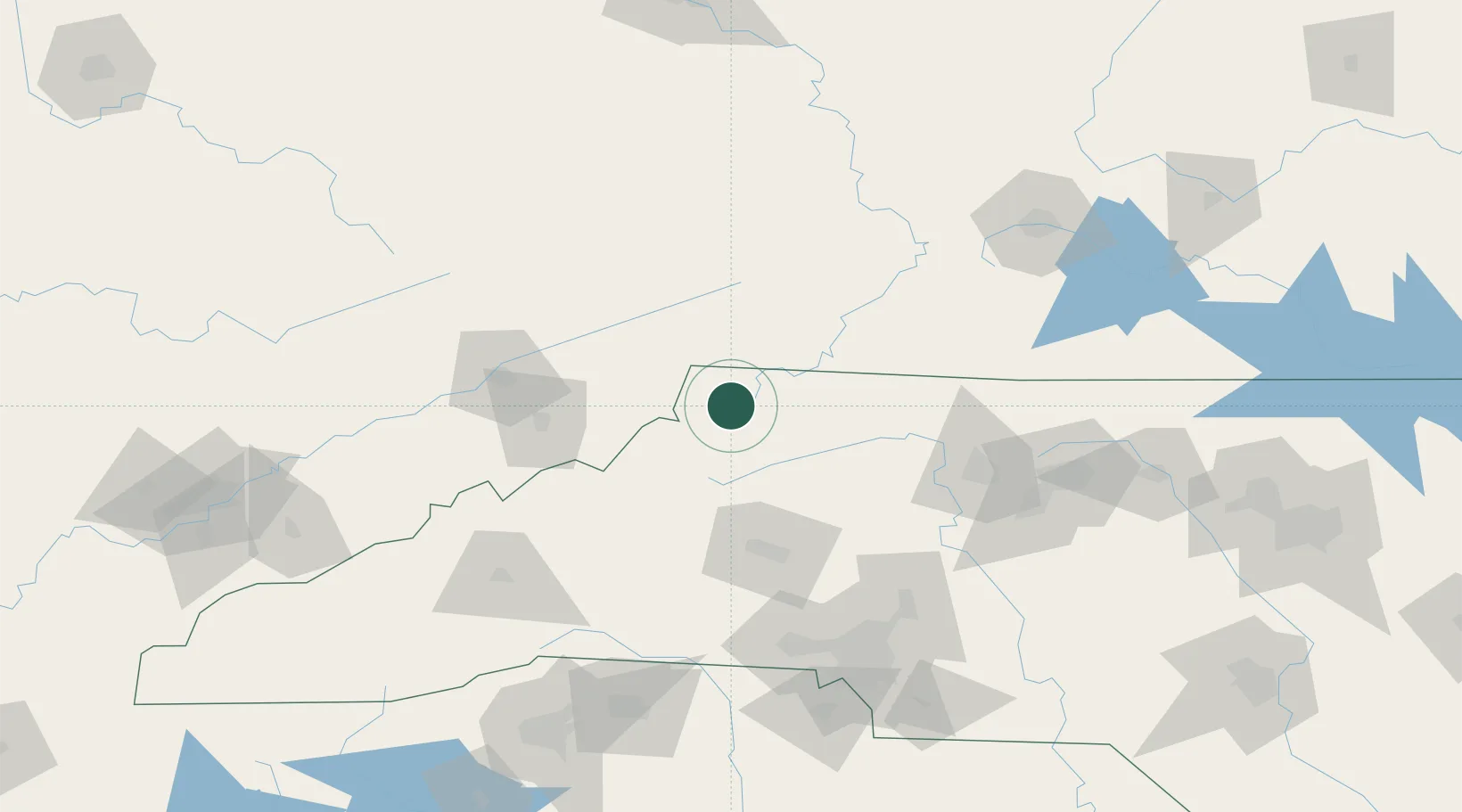
36.4167°, -81.4667°
1,606
Population
2
Transport functions
Transport Functions
Port
Multimodal
Hub Profile
Place type
Provincial seat
Region
North Carolina
Population
1,606
Time zone
America/New_York
Elevation
890 m
Location
Nearby Logistics Neighbours
Cities
- 1Deep Gap21 km
- 2Sparta33 km
- 3Damascus37 km
- 4Cedar Bluff42 km
- 5Ennice51 km
Ports
- 1Richmond381 km
- 2Georgetown393 km
- 3Wilmington401 km
- 4Washington409 km
- 5Wrightsville412 km
Airports
- 1Hickory Regional Airport75 km
- 2Tri-Cities Regional TN/VA Airport84 km
- 3Mercer County Airport100 km
- 4Smith Reynolds Airport116 km
- 5Concord-Padgett Regional Airport133 km
Trade Zones
- 1FTZ No. 204 Tri-Cities85 km
- 2FTZ No. 238 Dublin102 km
- 3FTZ No. 230 Piedmont Triad Area121 km
- 4FTZ No. 057 Mecklenburg County133 km
- 5FTZ No. 038 Spartanburg County184 km
DatabookThe Record of Consolidated Knowledge
United States beyond logistics?