UN/LOCODE hub · United States
USJOI
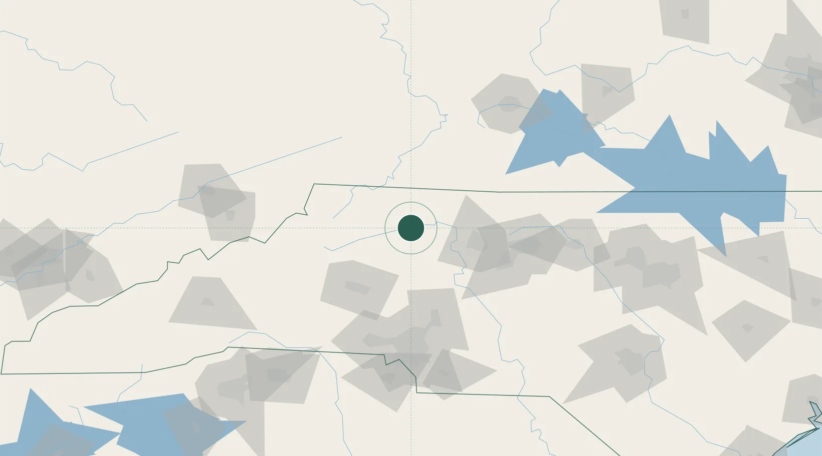
Jonesville
36.2333°, -80.8333°
2,257
Population
3
Transport functions
Transport Functions
Rail
Road
Multimodal
Hub Profile
Place type
Populated place
Region
North Carolina
Population
2,257
Time zone
America/New_York
Elevation
283 m
Location
Nearby Logistics Neighbours
Cities
- 1Ronda9 km
- 2Dobson25 km
- 3East Bend30 km
- 4Pilot Mountain37 km
- 5Pinnacle37 km
Ports
- 1Richmond337 km
- 2Wilmington344 km
- 3Georgetown349 km
- 4Washington349 km
- 5Wrightsville354 km
Airports
Trade Zones
- 1FTZ No. 230 Piedmont Triad Area62 km
- 2FTZ No. 238 Dublin97 km
- 3FTZ No. 057 Mecklenburg County111 km
- 4FTZ No. 204 Tri-Cities144 km
- 5FTZ No. 093 Raleigh Durham177 km
DatabookThe Record of Consolidated Knowledge
United States beyond logistics?