UN/LOCODE hub · United States
USQDA

Ronda

36.2167°, -80.9333°
413
Population
2
Transport functions

Transport Functions

Road
Multimodal
UN/LOCODE

Hub Profile

Place type
Populated place
GeoNames
Region
North Carolina
GeoNames
Population
413
GeoNames
Time zone
America/New_York
GeoNames
Elevation
293 m
GeoNames

Location

Location of USQDA
Natural Earth 10m (public domain) · North Carolina · USQDA · 36.22, -80.93GoogleOSMYandex

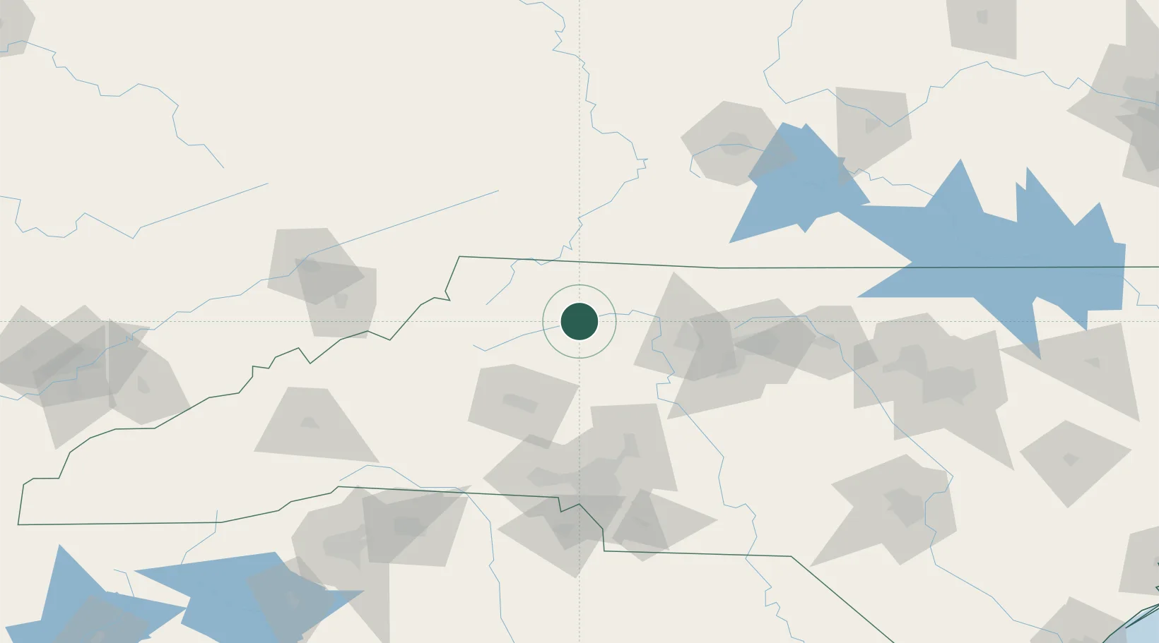
Nearby Logistics Neighbours

Cities
  1. 1Jonesville9 km
  2. 2Dobson31 km
  3. 3Sparta36 km
  4. 4East Bend39 km
  5. 5Pilot Mountain46 km
Nearest neighbours — logibook spatial index (haversine) over the source coordinates
Ports
  1. 1Richmond345 km
  2. 2Wilmington349 km
  3. 3Georgetown351 km
  4. 4Washington358 km
  5. 5Wrightsville360 km
Nearest neighbours — logibook spatial index (haversine) over the source coordinates
Airports
  1. 1Smith Reynolds Airport65 km
  2. 2Hickory Regional Airport67 km
  3. 3Piedmont Triad International Airport90 km
  4. 4Concord-Padgett Regional Airport94 km
  5. 5Charlotte Douglas International Airport112 km
Nearest neighbours — logibook spatial index (haversine) over the source coordinates
Trade Zones
  1. 1FTZ No. 230 Piedmont Triad Area70 km
  2. 2FTZ No. 238 Dublin100 km
  3. 3FTZ No. 057 Mecklenburg County108 km
  4. 4FTZ No. 204 Tri-Cities136 km
  5. 5FTZ No. 093 Raleigh Durham186 km
Nearest neighbours — logibook spatial index (haversine) over the source coordinates
DatabookThe Record of Consolidated Knowledge
United States beyond logistics?
Browse databook

All Sources

LocationsUN/LOCODE
UN/LOCODE — free
LocationsGeoNames
CC BY 4.0
Portsthe NGA World Port Index
Public domain (US gov)
AirportsOurAirports
Public domain
Trade Zonesthe World Bank SEZ database
CC BY 4.0
Trade ZonesOpen Zone Map
CC BY
← United States locations