Transport Functions
Road
Multimodal
Hub Profile
Place type
Provincial seat
Region
North Carolina
Population
1,573
Time zone
America/New_York
Elevation
383 m
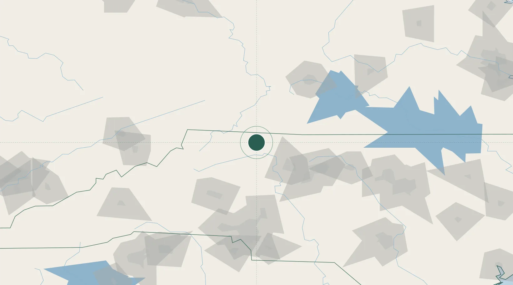
Location
Nearby Logistics Neighbours
Cities
- 1Pilot Mountain23 km
- 2Jonesville25 km
- 3Pinnacle29 km
- 4Ronda31 km
- 5East Bend32 km
Ports
- 1Richmond318 km
- 2Washington344 km
- 3Wilmington350 km
- 4Fredericksburg356 km
- 5Wrightsville361 km
Airports
Trade Zones
- 1FTZ No. 230 Piedmont Triad Area58 km
- 2FTZ No. 238 Dublin74 km
- 3FTZ No. 057 Mecklenburg County135 km
- 4FTZ No. 204 Tri-Cities152 km
- 5FTZ No. 093 Raleigh Durham173 km
DatabookThe Record of Consolidated Knowledge
United States beyond logistics?