Transport Functions
Rail
Road
Multimodal
Hub Profile
Place type
Provincial seat
Region
Iowa
Population
2,668
Time zone
America/Chicago
Elevation
462 m
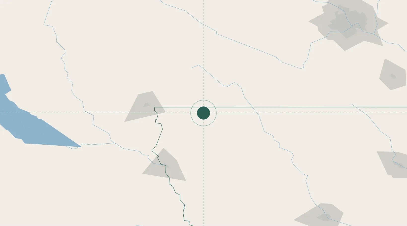
Location
Nearby Logistics Neighbours
Cities
- 1Harris27 km
- 2Round Lake27 km
- 3Boyden32 km
- 4Lake Park35 km
- 5Hospers39 km
Ports
- 1Superior470 km
- 2Duluth471 km
- 3Two Harbors515 km
- 4Ashland523 km
- 5Washburn527 km
Airports
Trade Zones
- 1FTZ No. 288 Northwest Iowa37 km
- 2FTZ No. 220 Sioux Falls86 km
- 3FTZ No. 107 Polk County255 km
- 4FTZ No. 119 Minneapolis-St. Paul266 km
- 5FTZ No. 059 Lincoln303 km
DatabookThe Record of Consolidated Knowledge
United States beyond logistics?