Transport Functions
Port
Road
Hub Profile
Place type
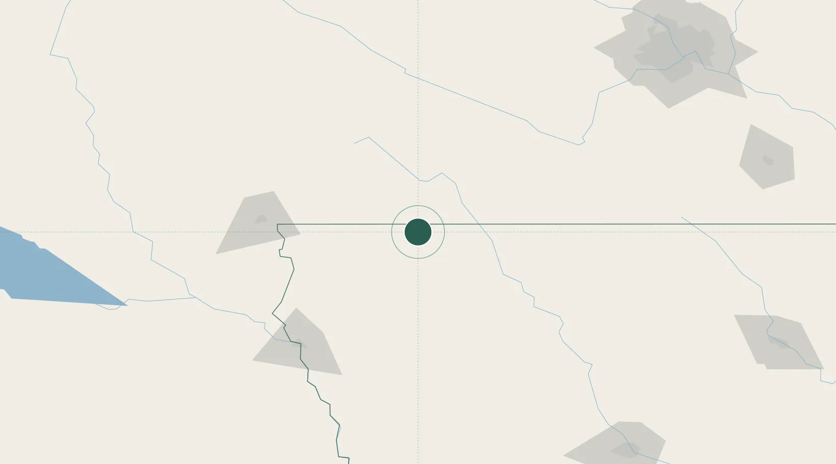
Populated place
Region
Iowa
Population
164
Time zone
America/Chicago
Elevation
473 m
Location
Nearby Logistics Neighbours
Cities
- 1Lake Park8 km
- 2Round Lake12 km
- 3Arnolds Park25 km
- 4Sibley27 km
- 5Boyden55 km
Ports
- 1Superior451 km
- 2Duluth453 km
- 3Two Harbors496 km
- 4Ashland502 km
- 5Washburn506 km
Airports
Trade Zones
- 1FTZ No. 288 Northwest Iowa61 km
- 2FTZ No. 220 Sioux Falls112 km
- 3FTZ No. 107 Polk County241 km
- 4FTZ No. 119 Minneapolis-St. Paul244 km
- 5FTZ No. 059 Lincoln315 km
DatabookThe Record of Consolidated Knowledge
United States beyond logistics?