Transport Functions
Rail
Road
Hub Profile
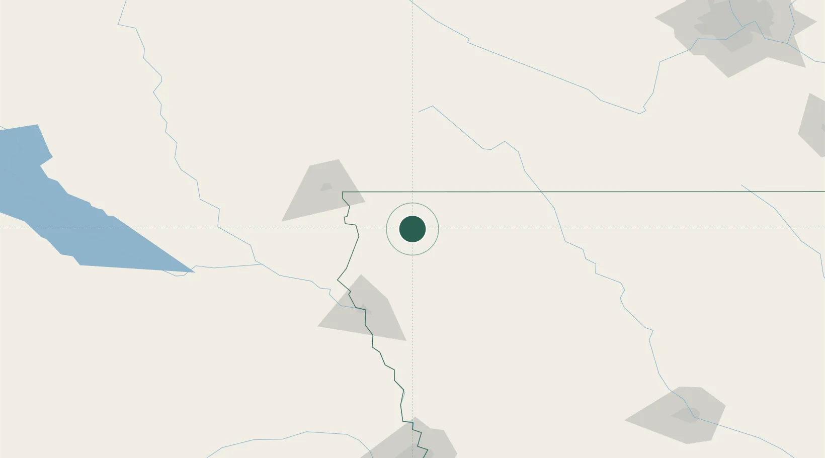
Place type
Populated place
Region
Iowa
Population
708
Time zone
America/Chicago
Elevation
434 m
Location
Nearby Logistics Neighbours
Cities
- 1Hull11 km
- 2Hospers15 km
- 3Rock Valley24 km
- 4Sibley32 km
- 5Inwood38 km
Ports
- 1Superior502 km
- 2Duluth503 km
- 3Two Harbors546 km
- 4Ashland555 km
- 5Washburn559 km
Airports
Trade Zones
- 1FTZ No. 288 Northwest Iowa7 km
- 2FTZ No. 220 Sioux Falls76 km
- 3FTZ No. 107 Polk County252 km
- 4FTZ No. 059 Lincoln274 km
- 5FTZ No. 119 Minneapolis-St. Paul297 km
DatabookThe Record of Consolidated Knowledge
United States beyond logistics?