Transport Functions
Rail
Road
Multimodal
Hub Profile
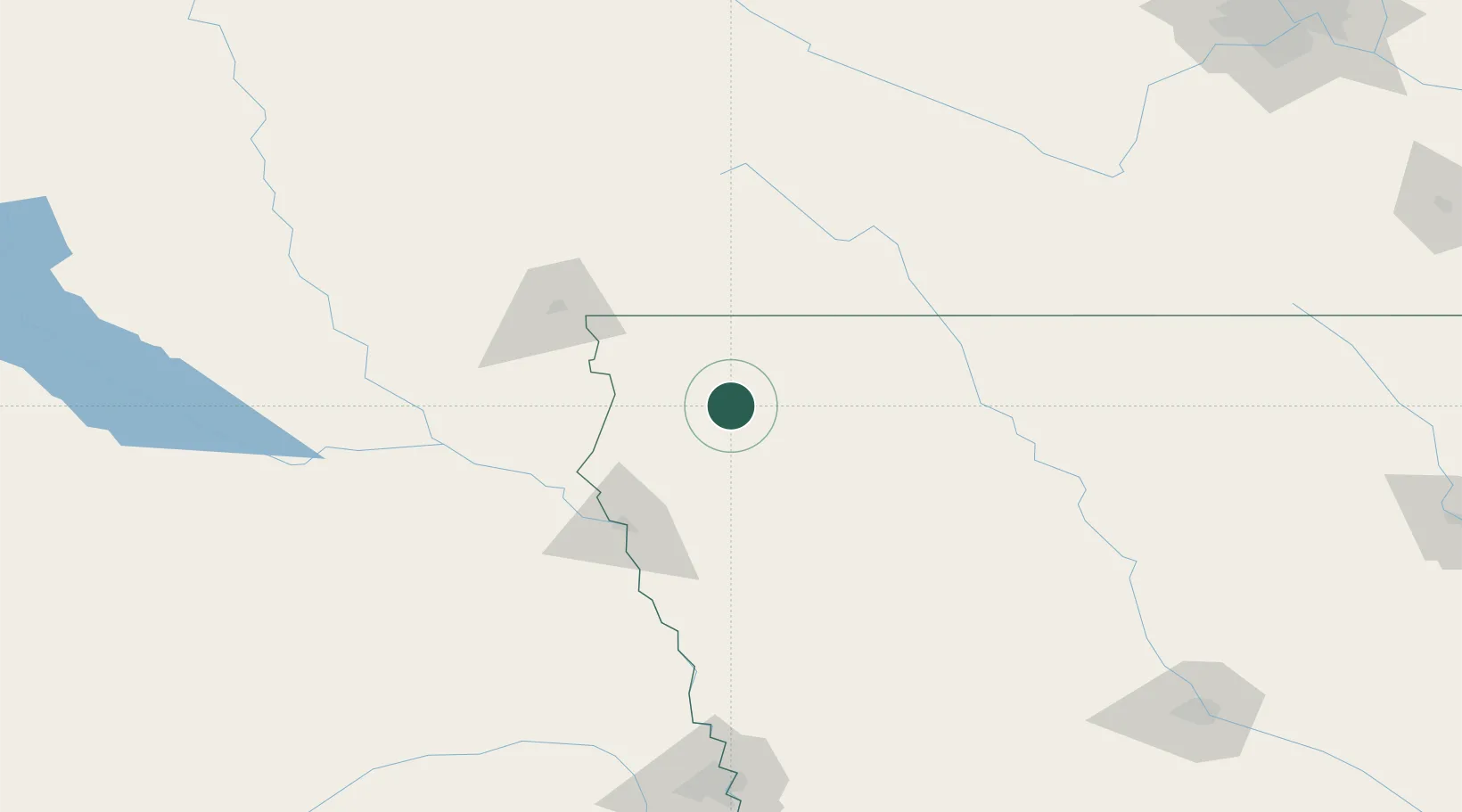
Place type
Populated place
Region
Iowa
Population
714
Time zone
America/Chicago
Elevation
411 m
Location
Nearby Logistics Neighbours
Cities
- 1Boyden15 km
- 2Hull23 km
- 3Rock Valley36 km
- 4Sibley39 km
- 5Inwood51 km
Ports
- 1Superior507 km
- 2Duluth509 km
- 3Two Harbors552 km
- 4Ashland558 km
- 5Washburn562 km
Airports
Trade Zones
- 1FTZ No. 288 Northwest Iowa18 km
- 2FTZ No. 220 Sioux Falls90 km
- 3FTZ No. 107 Polk County237 km
- 4FTZ No. 059 Lincoln264 km
- 5FTZ No. 119 Minneapolis-St. Paul300 km
DatabookThe Record of Consolidated Knowledge
United States beyond logistics?