UN/LOCODE hub · United States
USQJC
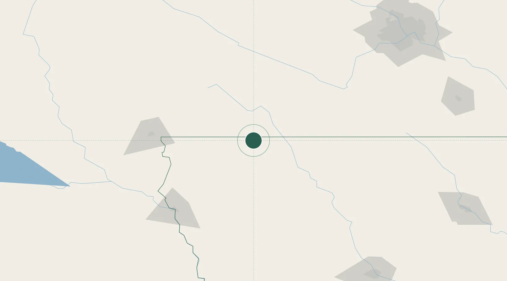
Lake Park
43.4500°, -95.3167°
1,137
Population
2
Transport functions
Transport Functions
Port
Multimodal
Hub Profile
Place type
Populated place
Region
Iowa
Population
1,137
Time zone
America/Chicago
Elevation
454 m
Location
Nearby Logistics Neighbours
Cities
- 1Harris8 km
- 2Round Lake15 km
- 3Arnolds Park19 km
- 4Sibley35 km
- 5Mountain Lake62 km
Ports
- 1Superior445 km
- 2Duluth447 km
- 3Two Harbors490 km
- 4Ashland495 km
- 5Washburn499 km
Airports
Trade Zones
- 1FTZ No. 288 Northwest Iowa69 km
- 2FTZ No. 220 Sioux Falls120 km
- 3FTZ No. 119 Minneapolis-St. Paul237 km
- 4FTZ No. 107 Polk County237 km
- 5FTZ No. 059 Lincoln320 km
DatabookThe Record of Consolidated Knowledge
United States beyond logistics?