Transport Functions
Port
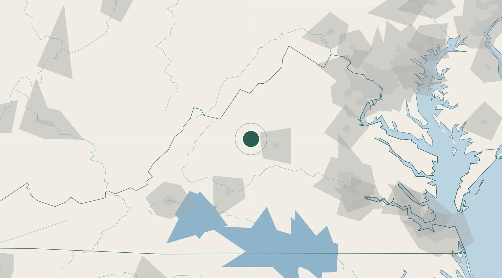
Hub Profile
Place type
Populated place
Region
Virginia
Population
2,209
Time zone
America/New_York
Elevation
382 m
Location
Nearby Logistics Neighbours
Cities
- 1Port Republic17 km
- 2Stuarts Draft22 km
- 3Mount Crawford23 km
- 4Bridgewater26 km
- 5Mcgaheysville27 km
Ports
- 1Fredericksburg123 km
- 2Richmond143 km
- 3Alexandria174 km
- 4Washington D.C.177 km
- 5West Point193 km
Airports
Trade Zones
DatabookThe Record of Consolidated Knowledge
United States beyond logistics?