UN/LOCODE hub · United States
USZIG
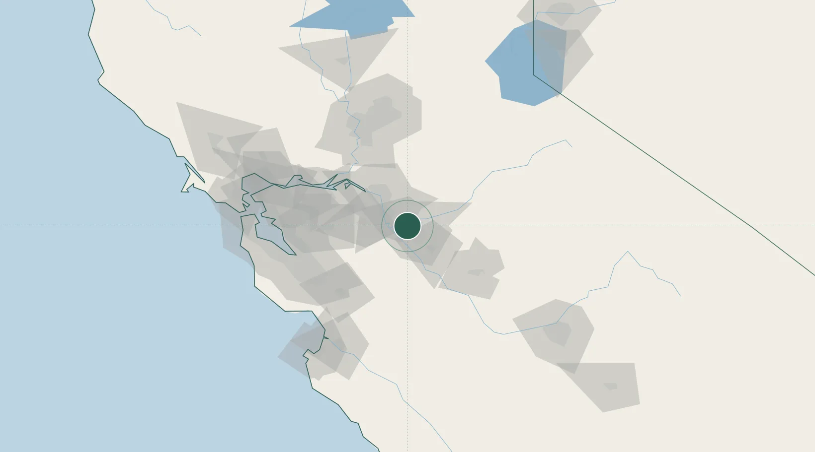
Salida
37.7000°, -121.0833°
13,722
Population
1
Transport functions
Transport Functions
Multimodal
Hub Profile
Place type
Populated place
Region
California
Population
13,722
Time zone
America/Los_Angeles
Elevation
21 m
Location
Nearby Logistics Neighbours
Cities
- 1Atlanta13 km
- 2Riverbank14 km
- 3San Joaquin River17 km
- 4Vernalis19 km
- 5Westley20 km
Ports
- 1Stockton34 km
- 2Isleton69 km
- 3Walnut Grove70 km
- 4Antioch72 km
- 5Rio Vista74 km
Airports
Trade Zones
DatabookThe Record of Consolidated Knowledge
United States beyond logistics?