Transport Functions
Port
Multimodal
Hub Profile
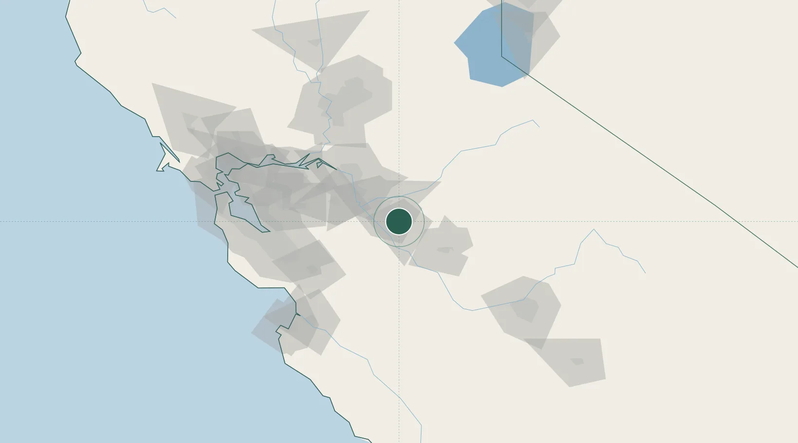
Place type
Populated place
Region
California
Population
5,601
Time zone
America/Los_Angeles
Elevation
28 m
Location
Nearby Logistics Neighbours
Cities
- 1Denair9 km
- 2Hilmar18 km
- 3Riverbank21 km
- 4Salida23 km
- 5Livingston25 km
Ports
- 1Stockton57 km
- 2Isleton92 km
- 3Walnut Grove93 km
- 4Antioch95 km
- 5Rio Vista97 km
Airports
Trade Zones
DatabookThe Record of Consolidated Knowledge
United States beyond logistics?