Transport Functions
Port
Multimodal
Hub Profile
Place type
Populated place
Region
North Carolina
Time zone
America/New_York
Elevation
666 m
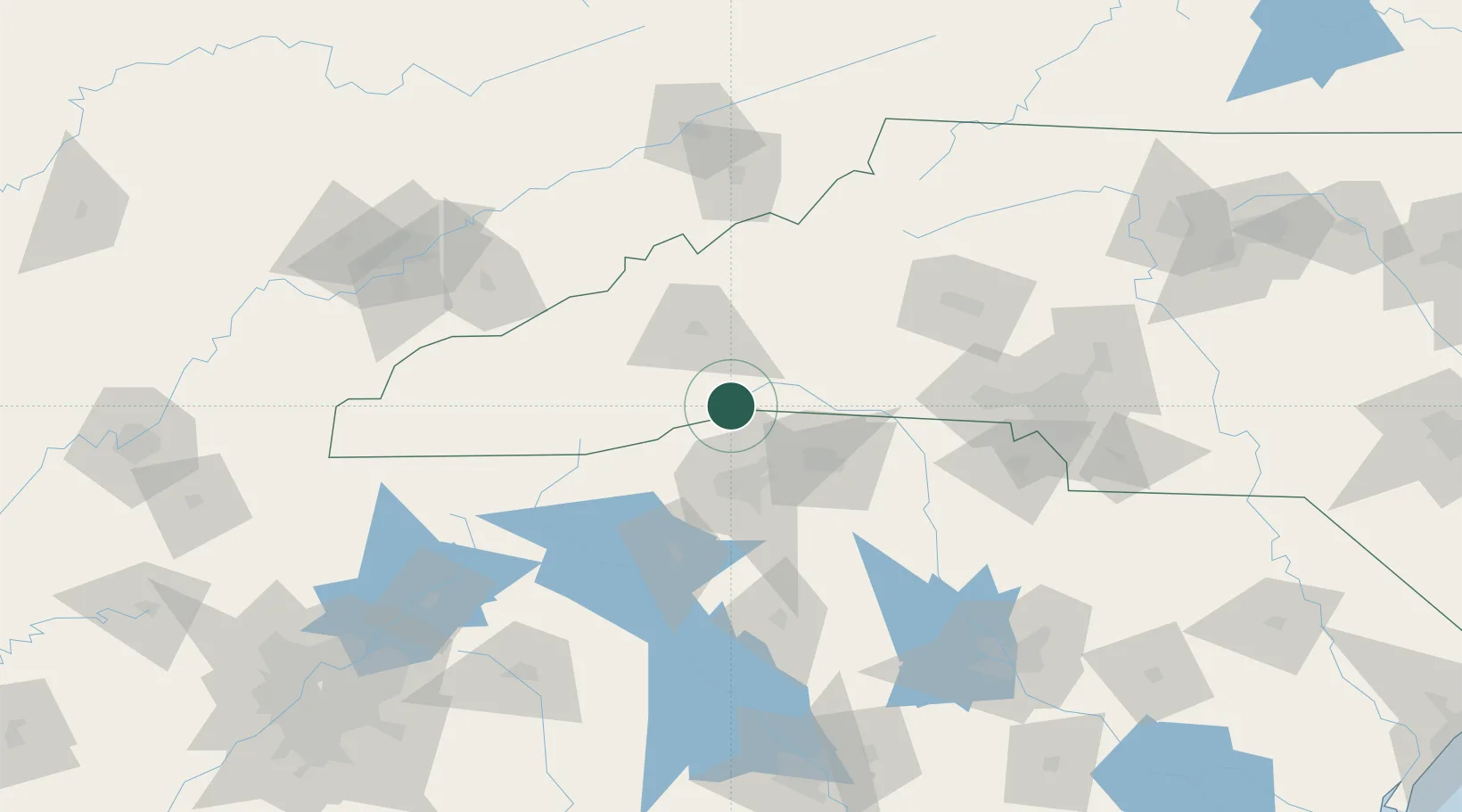
Location
Nearby Logistics Neighbours
Cities
- 1Tryon16 km
- 2Edneyville17 km
- 3Naples19 km
- 4Etowah19 km
- 5Columbus20 km
Ports
- 1Beaufort350 km
- 2Georgetown354 km
- 3Charleston356 km
- 4Port Royal356 km
- 5Savannah371 km
Airports
Trade Zones
- 1FTZ No. 038 Spartanburg County41 km
- 2FTZ No. 057 Mecklenburg County120 km
- 3FTZ No. 204 Tri-Cities139 km
- 4FTZ No. 127 West Columbia181 km
- 5FTZ No. 148 Knoxville185 km
DatabookThe Record of Consolidated Knowledge
United States beyond logistics?