Transport Functions
Road
Multimodal
Hub Profile
Place type
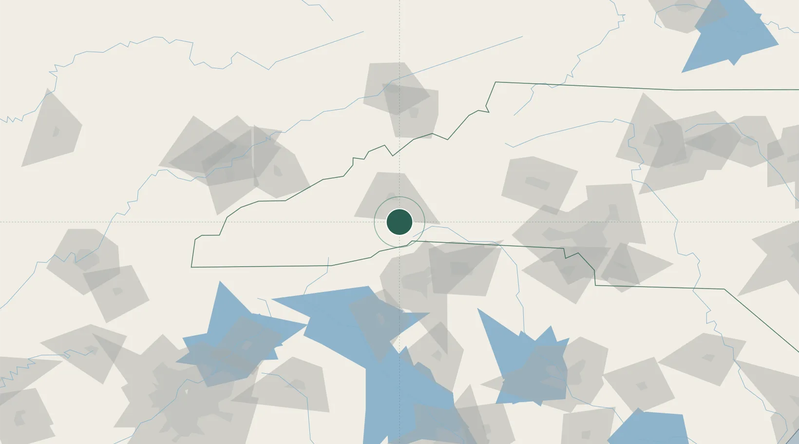
Populated place
Region
North Carolina
Time zone
America/New_York
Elevation
635 m
Location
Nearby Logistics Neighbours
Cities
- 1Etowah11 km
- 2Edneyville12 km
- 3Penrose18 km
- 4Zirconia19 km
- 5Asheville25 km
Ports
- 1Beaufort369 km
- 2Georgetown371 km
- 3Charleston374 km
- 4Port Royal375 km
- 5Savannah390 km
Airports
Trade Zones
- 1FTZ No. 038 Spartanburg County60 km
- 2FTZ No. 204 Tri-Cities122 km
- 3FTZ No. 057 Mecklenburg County129 km
- 4FTZ No. 148 Knoxville170 km
- 5FTZ No. 127 West Columbia199 km
DatabookThe Record of Consolidated Knowledge
United States beyond logistics?