Transport Functions
Rail
Road
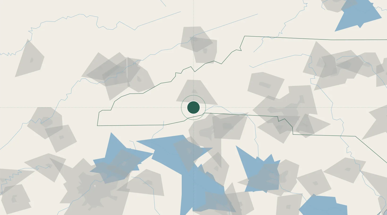
Hub Profile
Place type
Populated place
Region
North Carolina
Population
6,944
Time zone
America/New_York
Elevation
642 m
Location
Nearby Logistics Neighbours
Cities
- 1Penrose7 km
- 2Naples11 km
- 3Zirconia19 km
- 4Edneyville21 km
- 5Candler26 km
Ports
- 1Beaufort366 km
- 2Port Royal372 km
- 3Georgetown373 km
- 4Charleston374 km
- 5Savannah385 km
Airports
Trade Zones
- 1FTZ No. 038 Spartanburg County57 km
- 2FTZ No. 204 Tri-Cities131 km
- 3FTZ No. 057 Mecklenburg County136 km
- 4FTZ No. 148 Knoxville166 km
- 5FTZ No. 127 West Columbia199 km
DatabookThe Record of Consolidated Knowledge
United States beyond logistics?